Cof Cymru: National Historic Assets of Wales · Wales
Drinking Fountain
Pontypridd, Rhondda Cynon Taff, Wales
A Grade II listed building in Pontypridd, Rhondda Cynon Taff, designated on 26 February 2001.
The record
- Designation
- Listed building, Grade II
- Broad class
- Recreational
- Date of designation
- 26 February 2001
- Locality
- Pontypridd
- Town
- Pontypridd
- Community
- Pontypridd
- Unitary authority
- Rhondda Cynon Taff
- Country
- Wales
- Coordinates
- 51.60337, -3.34041
- Cadw reference
- 24842
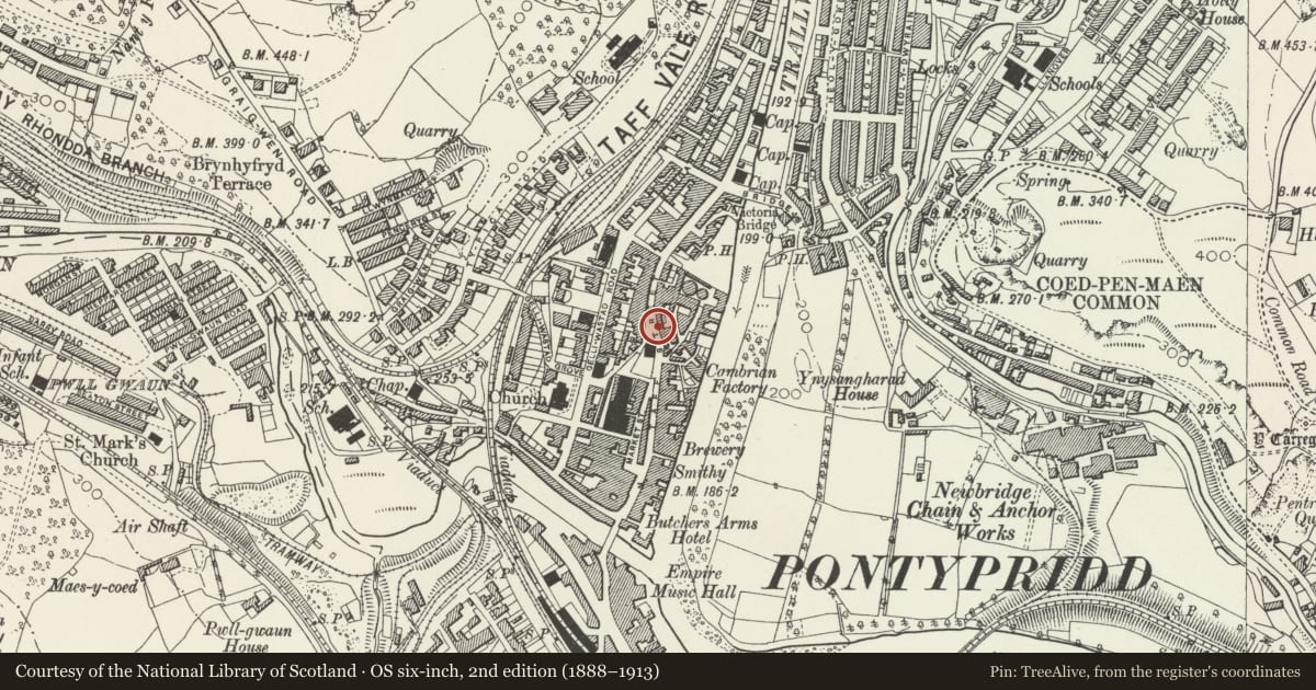
Slide toward Today to fade the historical sheet and see the modern map underneath.
David Rumsey Map Collection, Stanford LibrariesNational Library of ScotlandDavid Rumsey Map Collection, Stanford LibrariesDavid Rumsey Map Collection, Stanford LibrariesDavid Rumsey Map Collection, Stanford Libraries
5 historical maps cover this location, the earliest the 1636 map "Cornubia : Devonia, Somersetus, Dorcestria, Wiltonia, Glocestria ..." (David Rumsey Map Collection, Stanford Libraries).
Historical maps covering this location
- 1636 · Cornubia : Devonia, Somersetus, Dorcestria, Wiltonia, Glocestria ... (David Rumsey Map Collection, Stanford Libraries)
- 1637 · The fourth table of England. Cornub. Devonia, Somerset etc. (David Rumsey Map Collection, Stanford Libraries)
- 1865 · England and Wales. England No. 6. (David Rumsey Map Collection, Stanford Libraries)
- 1895 · Sheet 11. Ordnance Survey of England and Wales. (David Rumsey Map Collection, Stanford Libraries)
- 1963 · Map No. 14 - Local Government Commission for Wales : [Definitive maps showing proposed… (National Library of Scotland)
Cadw's description
Location
In the centre of the junction of Taff Street and Penuel Lane.
History
Designed by C B Fowler and erected in 1895 on land donated by Sir Alfred Thomas MP.
Exterior
A canopied stone drinking fountain decorated with relief panels of Celtic interlace ornament. The base is square with projecting bowls in each face, which have relief inscriptions to the undersides. On the N side is an added date panel recording its erection in 1895 and restoration in 1981. Attached square shafts at the angles that carry the canopy. On each face the canopy has a trefoiled arch and a half-hipped roof rising to a low shaft base, on which is an iron lamp shaft with entwined serpent and combatant beasts. The corners of the canopy have projecting sculpted goats' heads.
Reason for designation
Listed as a prominently sited item of street furniture and an exceptional example of the Celtic revival style in S Wales.
Nearby in the register
- Pontypridd United Church including attached second hallReligious, Ritual and Funeraryunder 1 mi
- St David's Presbyterian Church and HallReligious, Ritual and Funeraryunder 1 mi
- 10 Market StreetCommercialunder 1 mi
- Market Tavern HotelCommercialunder 1 mi
Other entries of the same register within about three miles of this one, by straight line.