Cof Cymru: National Historic Assets of Wales · Wales
Garden wall and gateway, Dafarn-newydd
Llanfaethlu, Isle of Anglesey, Wales
A Grade II listed building in Llanfaethlu, Holyhead, Isle of Anglesey, designated on 16 February 2001.
The record
- Designation
- Listed building, Grade II
- Broad class
- Domestic
- Date of designation
- 16 February 2001
- Locality
- Llanfaethlu
- Town
- Holyhead
- Community
- Llanfaethlu
- Unitary authority
- Isle of Anglesey
- Country
- Wales
- Coordinates
- 53.35014, -4.54099
- Cadw reference
- 24802
Slide toward Today to fade the historical sheet and see the modern map underneath.
David Rumsey Map Collection, Stanford LibrariesDavid Rumsey Map Collection, Stanford LibrariesDavid Rumsey Map Collection, Stanford LibrariesDavid Rumsey Map Collection, Stanford LibrariesDavid Rumsey Map Collection, Stanford Libraries
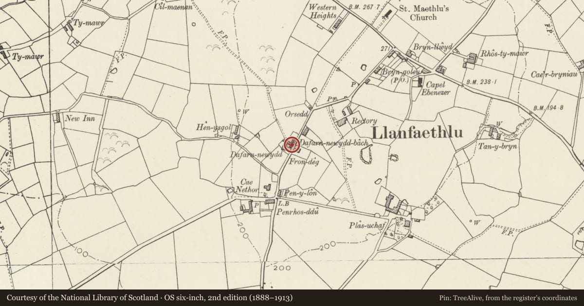
5 historical maps cover this location, the earliest the 1799 map "Ireland." (David Rumsey Map Collection, Stanford Libraries).
Historical maps covering this location
- 1799 · Ireland. (David Rumsey Map Collection, Stanford Libraries)
- 1883 · Watershed map England, Wales 3. (David Rumsey Map Collection, Stanford Libraries)
- 1899 · 93 Holyhead (Hills) (David Rumsey Map Collection, Stanford Libraries)
- 1901 · Sheet 9 and 10. (David Rumsey Map Collection, Stanford Libraries)
- 1919 · Sheet 41. Anglesey. (David Rumsey Map Collection, Stanford Libraries)
Cadw's description
Location
Set back from the NW side of the country road between Llanfwrog and Llanfaethlu; c500m SW of the Church of St Maethlu. The wall forms the N wall of the front garden.
History
Probably contemporary with the house and agricultural range; erected to divide the domestic garden area from the agricultural yard.
Exterior
Tall rubblestone wall, rendered, with raking top. Gateway set in the wall close to the house, at the W end.
Reason for designation
Included as forming a component part of the farmhouse range at Dafarn-newydd.
Nearby in the register
- Dafarn-newydd including outbuilding range to NDomesticunder 1 mi
- The Rectory, also known as TanyffynnonDomesticunder 1 mi
- Outbuilding, Ebenezer ChapelReligious, Ritual and Funeraryunder 1 mi
- Ebenezer Chapel including chapel house and hallReligious, Ritual and Funeraryunder 1 mi
Other entries of the same register within about three miles of this one, by straight line.