Cof Cymru: National Historic Assets of Wales · Wales
Lychgate to S entrance of Church of St Eilian
Llaneilian, Isle of Anglesey, Wales
A Grade II listed building in Llaneilian, Isle of Anglesey, designated on 24 January 2001.
The record
- Designation
- Listed building, Grade II
- Broad class
- Religious, Ritual and Funerary
- Date of designation
- 24 January 2001
- Locality
- Llaneilian
- Community
- Llaneilian
- Unitary authority
- Isle of Anglesey
- Country
- Wales
- Coordinates
- 53.41050, -4.30367
- Cadw reference
- 24550
Slide toward Today to fade the historical sheet and see the modern map underneath.
David Rumsey Map Collection, Stanford LibrariesDavid Rumsey Map Collection, Stanford LibrariesDavid Rumsey Map Collection, Stanford LibrariesDavid Rumsey Map Collection, Stanford LibrariesDavid Rumsey Map Collection, Stanford Libraries
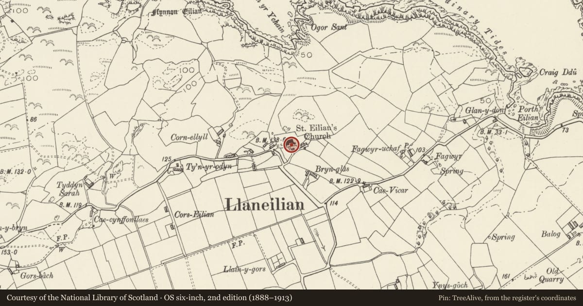
5 historical maps cover this location, the earliest the 1799 map "Ireland." (David Rumsey Map Collection, Stanford Libraries).
Historical maps covering this location
- 1799 · Ireland. (David Rumsey Map Collection, Stanford Libraries)
- 1883 · Watershed map England, Wales 3. (David Rumsey Map Collection, Stanford Libraries)
- 1899 · 93 Holyhead (Hills) (David Rumsey Map Collection, Stanford Libraries)
- 1901 · Sheet 9 and 10. (David Rumsey Map Collection, Stanford Libraries)
- 1919 · Sheet 41. Anglesey. (David Rumsey Map Collection, Stanford Libraries)
Cadw's description
Location
Located at the southern entrance to the churchyard to the Church of St Eilian; directly S of the SW porch.
History
The lychgate is of a characteristic local type, presumed to be late C18 or early C19. This lychgate is less crude in style and may have been erected later than that to the W entrance of the church.
Exterior
Rubblestone lychgate, mortared. Entrance through round-headed rough stone voussoir archway. Sides stepped up from low rubble flanking walls; top step surmounted by rough stone cross. Arch with timber gate.
Reason for designation
Included as a good rural lychgate of characteristic local type which forms a group with the adjacent Church of St Eilian.
Nearby in the register
- Cross in churchyard of Church of St EilianReligious, Ritual and Funeraryunder 1 mi
- Church of St EilianReligious, Ritual and Funeraryunder 1 mi
- Lychgate at W entrance to Church of St EilianReligious, Ritual and Funeraryunder 1 mi
- Tan y FynwentDomesticunder 1 mi
Other entries of the same register within about three miles of this one, by straight line.