Cof Cymru: National Historic Assets of Wales · Wales
Sundial in St Foddhyd's Churchyard
Clocaenog, Denbighshire, Wales
A Grade II listed building in Clocaenog, Denbighshire, designated on 12 January 2001.
The record
- Designation
- Listed building, Grade II
- Broad class
- Miscellaneous
- Date of designation
- 12 January 2001
- Locality
- Clocaenog
- Community
- Clocaenog
- Unitary authority
- Denbighshire
- Country
- Wales
- Coordinates
- 53.07724, -3.37175
- Cadw reference
- 24508
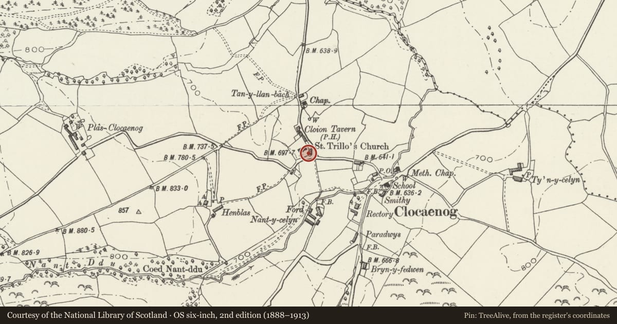
Slide toward Today to fade the historical sheet and see the modern map underneath.
David Rumsey Map Collection, Stanford LibrariesLlyfrgell Genedlaethol Cymru – The National Library of WalesDavid Rumsey Map Collection, Stanford LibrariesDavid Rumsey Map Collection, Stanford LibrariesDavid Rumsey Map Collection, Stanford Libraries
5 historical maps cover this location, the earliest the 1608 map "(13) Cambriae Typus." (David Rumsey Map Collection, Stanford Libraries).
Historical maps covering this location
- 1608 · (13) Cambriae Typus. (David Rumsey Map Collection, Stanford Libraries)
- 1795 · To Sir Watkin Williams-Wynn Bart ... the map of the six counties of North Wales is most… (Llyfrgell Genedlaethol Cymru – The National Library of Wales)
- 1830 · V.3:11-15:XV. Britisches Reich. A. Kon: England. b. Frstenthum Wales: Shire: 37-40 (David Rumsey Map Collection, Stanford Libraries)
- 1883 · Watershed map England, Wales 3. (David Rumsey Map Collection, Stanford Libraries)
- 1901 · Sheet 9 and 10. (David Rumsey Map Collection, Stanford Libraries)
Cadw's description
Location
At the south-east corner of the churchyard of St Foddhyd, in Clocaenog village.
History
Probably C18 or C19.
Exterior
An octagonal bronze sundial complete with its gnomon, manufactured by Joyce of Ruthin and marked with the latitude for which the dial is correct. The dial is mounted on the octagonal top of a round limestone pillar, the foot of the pillar being set into an octagonal base stone resembling a reworked millstone.
Reason for designation
A sundial by a local manufacturer, with pillar, listed for group value with St Foddhyd's Church.
Nearby in the register
- War Memorial in St Foddhyd's ChurchyardReligious, Ritual and Funeraryunder 1 mi
- Church of St FoddhydReligious, Ritual and Funeraryunder 1 mi
- Ty IsaDomesticunder 1 mi
- Hen BlasAgriculture and Subsistenceunder 1 mi
Other entries of the same register within about three miles of this one, by straight line.