Cof Cymru: National Historic Assets of Wales · Wales
Barn at Llangwm Isaf
Llantrisant Fawr, Monmouthshire, Wales
A Grade II listed building in Llansoy, Usk, Llantrisant Fawr, Monmouthshire, designated on 12 October 2000.
The record
- Designation
- Listed building, Grade II
- Broad class
- Agriculture and Subsistence
- Date of designation
- 12 October 2000
- Locality
- Llansoy
- Town
- Usk
- Community
- Llantrisant Fawr
- Unitary authority
- Monmouthshire
- Country
- Wales
- Coordinates
- 51.70886, -2.82820
- Cadw reference
- 24126
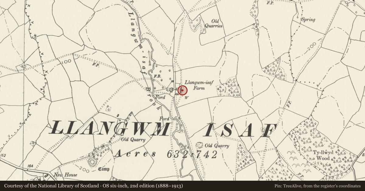
Slide toward Today to fade the historical sheet and see the modern map underneath.
David Rumsey Map Collection, Stanford LibrariesDavid Rumsey Map Collection, Stanford LibrariesDavid Rumsey Map Collection, Stanford LibrariesDavid Rumsey Map Collection, Stanford LibrariesDavid Rumsey Map Collection, Stanford Libraries
5 historical maps cover this location, the earliest the 1636 map "Cornubia : Devonia, Somersetus, Dorcestria, Wiltonia, Glocestria ..." (David Rumsey Map Collection, Stanford Libraries).
Historical maps covering this location
- 1636 · Cornubia : Devonia, Somersetus, Dorcestria, Wiltonia, Glocestria ... (David Rumsey Map Collection, Stanford Libraries)
- 1637 · The fourth table of England. Cornub. Devonia, Somerset etc. (David Rumsey Map Collection, Stanford Libraries)
- 1830 · V.3:11-15:XV.Britisches Reich. A. Kon: England. a. England ab sich: Shire:15-17, 33 (David Rumsey Map Collection, Stanford Libraries)
- 1895 · Sheet 11. Ordnance Survey of England and Wales. (David Rumsey Map Collection, Stanford Libraries)
- 1913 · Sheet 102. Newport. (David Rumsey Map Collection, Stanford Libraries)
Cadw's description
Location
Situated on slope above Llangwm Isaf farmhouse, at head of farmyard with minor ranges each side.
History
Large barn on slope above Llangwm Isaf farmhouse, possibly C18.
Exterior
Barn, rubble stone, with pantiled roof. Thin stones to walling and to door heads. Front has centre cambered-arched high opening with later barn doors affixed in front of opening. Vent loop each side. Ground floor to left has two doors, right has stone outside steps.
Lower ranges attached each end, that to right lofted with blocked loft door and right corner rebuilt in blockwork, that to left single storey with late C19 red brick framing to door and window right and casement pair to centre.
Interior
Interior not available for inspection at time of survey.
Reason for designation
Included as a sustantial stone barn, of group value with the farmhouse at Llangwm Isaf.
Nearby in the register
- Llangwm IsafDomesticunder 1 mi
- Ringwork NE of New HouseRingworkunder 1 mi
- Church of St John, Llangwm IsafReligious, Ritual and Funeraryunder 1 mi
- Ty LlwydDomesticunder 1 mi
Other entries of the same register within about three miles of this one, by straight line.