Cof Cymru: National Historic Assets of Wales · Wales
Brockweir Bridge
Wye Valley, Monmouthshire, Wales
A Grade II listed building in Brockweir, Chepstow, Wye Valley, Monmouthshire, designated on 29 September 2000.
The record
- Designation
- Listed building, Grade II
- Broad class
- Transport
- Date of designation
- 29 September 2000
- Locality
- Brockweir
- Town
- Chepstow
- Community
- Wye Valley
- Unitary authority
- Monmouthshire
- Country
- Wales
- Coordinates
- 51.70700, -2.66907
- Cadw reference
- 24046
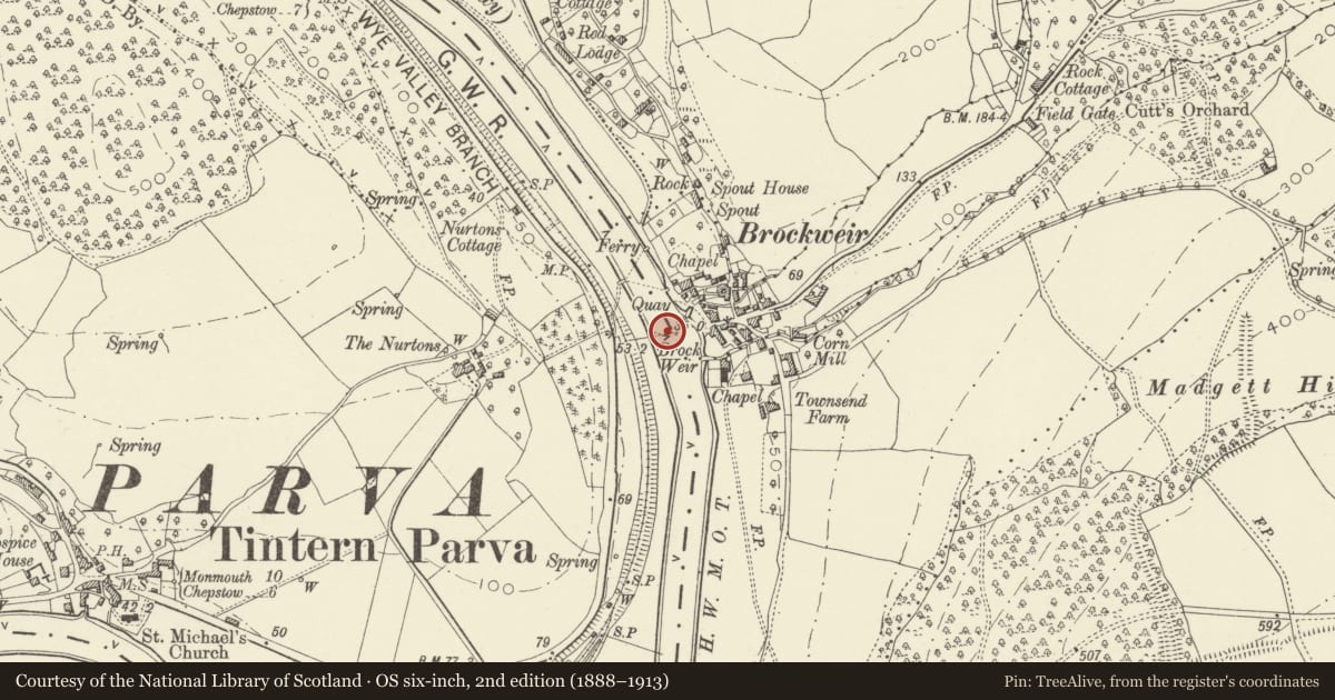
Slide toward Today to fade the historical sheet and see the modern map underneath.
David Rumsey Map Collection, Stanford LibrariesDavid Rumsey Map Collection, Stanford LibrariesDavid Rumsey Map Collection, Stanford LibrariesDavid Rumsey Map Collection, Stanford LibrariesDavid Rumsey Map Collection, Stanford Libraries
5 historical maps cover this location, the earliest the 1636 map "Cornubia : Devonia, Somersetus, Dorcestria, Wiltonia, Glocestria ..." (David Rumsey Map Collection, Stanford Libraries).
Historical maps covering this location
- 1636 · Cornubia : Devonia, Somersetus, Dorcestria, Wiltonia, Glocestria ... (David Rumsey Map Collection, Stanford Libraries)
- 1637 · The fourth table of England. Cornub. Devonia, Somerset etc. (David Rumsey Map Collection, Stanford Libraries)
- 1830 · V.3:11-15:XV.Britisches Reich. A. Kon: England. a. England ab sich: Shire:15-17, 33 (David Rumsey Map Collection, Stanford Libraries)
- 1865 · England and Wales. England No. 6. (David Rumsey Map Collection, Stanford Libraries)
- 1895 · Sheet 11. Ordnance Survey of England and Wales. (David Rumsey Map Collection, Stanford Libraries)
Cadw's description
Location
At the NE boundary of the Community on the east side of the A466 and crossing the river Wye into England.
History
Opened in 1908 to replace a ferry. It was designed and built by E Finch and Co's foundry of Chepstow and was restored in 1986 by Sheppard Adkins (Engineering) Ltd.
Exterior
The bridge is constructed of cast and wrought iron. Paired cast iron cylinders are cross-braced to form the piers. Three spans of wrought iron lattice girders with the roadway running inside the girders which are separate to each span. Makers plate on the parapet E FINCH & Co LIMTD ENGINEERS 1908 IRONFOUNDERS CHEPSTOW, also one commemorating the restoration of the bridge in 1986 by Sheppard Adkins (Engineering) Ltd. The bridge spans the border between Wales and England and between Monmouthshire and the Forest of Dean in Gloucestershire.
Reason for designation
Included as an unaltered iron bridge constructed in a highly picturesque location.
Nearby in the register
- Water Tank at Tintern StationWater Supply and Drainageunder 1 mi
- Railway Signal Post at Tintern StationTransportunder 1 mi
- Tintern StationTransportunder 1 mi
- Name Board at Tintern StationTransportunder 1 mi
Other entries of the same register within about three miles of this one, by straight line.