Cof Cymru: National Historic Assets of Wales · Wales
Table Tomb in the churchyard of the Church of St Beuno
Gwyddelwern, Denbighshire, Wales
A Grade II listed building in Gwyddelwern, Denbighshire, designated on 19 September 2000.
The record
- Designation
- Listed building, Grade II
- Broad class
- Religious, Ritual and Funerary
- Date of designation
- 19 September 2000
- Locality
- Gwyddelwern
- Community
- Gwyddelwern
- Unitary authority
- Denbighshire
- Country
- Wales
- Coordinates
- 53.00935, -3.38038
- Cadw reference
- 24000
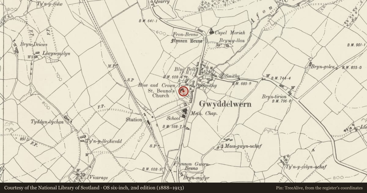
Slide toward Today to fade the historical sheet and see the modern map underneath.
David Rumsey Map Collection, Stanford LibrariesDavid Rumsey Map Collection, Stanford LibrariesLlyfrgell Genedlaethol Cymru – The National Library of WalesDavid Rumsey Map Collection, Stanford LibrariesDavid Rumsey Map Collection, Stanford Libraries
5 historical maps cover this location, the earliest the 1795 map "To Sir Watkin Williams-Wynn Bart ... the map of the six counties of North Wales is most humbly inscribed by his obedient humble servant" (Llyfrgell Genedlaethol Cymru – The National Library of Wales).
Historical maps covering this location
- 1795 · To Sir Watkin Williams-Wynn Bart ... the map of the six counties of North Wales is most… (Llyfrgell Genedlaethol Cymru – The National Library of Wales)
- 1830 · V.3:11-15:XV. Britisches Reich. A. Kon: England. b. Frstenthum Wales: Shire: 37-40 (David Rumsey Map Collection, Stanford Libraries)
- 1883 · Watershed map England, Wales 3. (David Rumsey Map Collection, Stanford Libraries)
- 1898 · 120 Corwen (Hills) (David Rumsey Map Collection, Stanford Libraries)
- 1901 · Sheet 9 and 10. (David Rumsey Map Collection, Stanford Libraries)
Cadw's description
Location
To the south of the chancel of St Beuno's church, near the yew tree, close to the churchyard path; in this section of the graveyard are numerous C18 headstones and also stones of a characteristic local type with kneeling recesses.
History
The first two interments in this tomb are of Jane, wife of Rev. Edward Wynne, d.1730, and the Rev. Edward Wynne, vicar of Gwyddelwern, d.1745. As the inscription lettering for these first interments is in the same hand the date of the tomb is probably 1745. Later inscriptions record burials in this tomb dated 1798, 1837 and 1848.
The lettering style of the upright panels is similar to the earliest lettering on the ledger, so the carvings are taken to be original.
Exterior
A table tomb consisting of an inscribed ledger standing on four upright support slabs. The ledger projects and its edge is hollowed on the underside. Two inscribed lines form a simple framing around the inscription lettering. The support slab each end carries a single panel of carving, and those at each side three panels, each panel also framed by two inscribed lines.
The east end support slab features the hourglass and that at the west end a memento mori with skull and crossbones. At each side the first and third carved panel shows a cherub; the centre panel each side shows the archangel sounding the last trump and calling the dead to rise to Judgement. On the one side where they are visible the mason has carefully carved the archangel's feet and toes.
Reason for designation
A fine carved and lettered C18 tomb with the unsophisticated religious imagery of a country mason.
Nearby in the register
- Church of St BeunoReligious, Ritual and Funeraryunder 1 mi
- Ty MawrDomesticunder 1 mi
- Cruck Barn at Hendre with attached Cowshed at westAgriculture and Subsistenceunder 1 mi
- Nant-yr-erw-haidd FarmhouseAgriculture and Subsistence1 mi
Other entries of the same register within about three miles of this one, by straight line.