Cof Cymru: National Historic Assets of Wales · Wales
Privy to No.7
Llandygai, Gwynedd, Wales
A Grade II listed building in Mynydd Llandygai, Llandygai, Gwynedd, designated on 24 May 2000.
The record
- Designation
- Listed building, Grade II
- Broad class
- Domestic
- Date of designation
- 24 May 2000
- Locality
- Mynydd Llandygai
- Community
- Llandygai
- Unitary authority
- Gwynedd
- Country
- Wales
- Coordinates
- 53.17070, -4.09422
- Cadw reference
- 23442
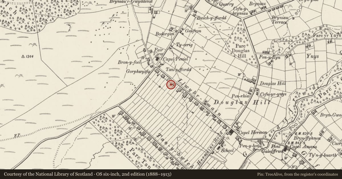
Slide toward Today to fade the historical sheet and see the modern map underneath.
David Rumsey Map Collection, Stanford LibrariesDavid Rumsey Map Collection, Stanford LibrariesDavid Rumsey Map Collection, Stanford LibrariesDavid Rumsey Map Collection, Stanford LibrariesDavid Rumsey Map Collection, Stanford Libraries
5 historical maps cover this location, the earliest the 1896 map "Sheet 7. Ordnance Survey of England and Wales." (David Rumsey Map Collection, Stanford Libraries).
Historical maps covering this location
- 1896 · Sheet 7. Ordnance Survey of England and Wales. (David Rumsey Map Collection, Stanford Libraries)
- 1899 · 106 Bangor (Hills) (David Rumsey Map Collection, Stanford Libraries)
- 1899 · 106 Bangor (Outline) (David Rumsey Map Collection, Stanford Libraries)
- 1901 · Sheet 9 and 10. (David Rumsey Map Collection, Stanford Libraries)
- 1919 · Sheet 41. Anglesey. (David Rumsey Map Collection, Stanford Libraries)
Cadw's description
Location
Situated to west of cottage on its north-western partly slate-fenced boundary.
History
Contemporary with cottage.
Exterior
Uncoursed rubblestone with gabled slate roof. Doorway on eastern side.
Reason for designation
Included for group value and historical association with No.7 Llwybr Main.
Nearby in the register
- 7 Llwybr MainDomesticunder 1 mi
- 8 Llwybr MainDomesticunder 1 mi
- FairviewDomesticunder 1 mi
- Boundary Walls/Slate Fencing to Nos.3 & 4Domesticunder 1 mi
Other entries of the same register within about three miles of this one, by straight line.