Cof Cymru: National Historic Assets of Wales · Wales
Rhos-farch
Pennal, Gwynedd, Wales
A Grade II listed building in Pennal, Machynlleth, Gwynedd, designated on 25 May 2000.
The record
- Designation
- Listed building, Grade II
- Broad class
- Domestic
- Date of designation
- 25 May 2000
- Locality
- Pennal
- Town
- Machynlleth
- Community
- Pennal
- Unitary authority
- Gwynedd
- Country
- Wales
- Coordinates
- 52.59383, -3.92806
- Cadw reference
- 23315
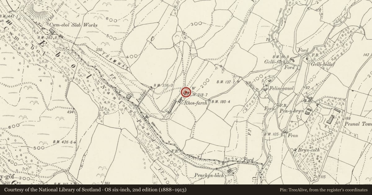
Slide toward Today to fade the historical sheet and see the modern map underneath.
David Rumsey Map Collection, Stanford LibrariesDavid Rumsey Map Collection, Stanford LibrariesDavid Rumsey Map Collection, Stanford LibrariesDavid Rumsey Map Collection, Stanford LibrariesLlyfrgell Genedlaethol Cymru – The National Library of Wales
5 historical maps cover this location, the earliest the 1795 map "To Sir Watkin Williams-Wynn Bart ... the map of the six counties of North Wales is most humbly inscribed by his obedient humble servant" (Llyfrgell Genedlaethol Cymru – The National Library of Wales).
Historical maps covering this location
- 1795 · To Sir Watkin Williams-Wynn Bart ... the map of the six counties of North Wales is most… (Llyfrgell Genedlaethol Cymru – The National Library of Wales)
- 1883 · Watershed map England, Wales 3. (David Rumsey Map Collection, Stanford Libraries)
- 1896 · Sheet 7. Ordnance Survey of England and Wales. (David Rumsey Map Collection, Stanford Libraries)
- 1899 · 149 Barmouth (Hills) (David Rumsey Map Collection, Stanford Libraries)
- 1901 · Sheet 9 and 10. (David Rumsey Map Collection, Stanford Libraries)
Cadw's description
Location
The farmhouse is located in undulating country, 1km NW of the centre of the village, and is reached from a farm road off the minor road to Pennal-isaf.
History
Built probably in the early C19 as an upgrading of a previous house on the same site.
Exterior
Built of stone and limewashed, with a slate roof. Two storey, 3 bays. Central 4-panelled door within a C20 lean-to porch, and 12-pane unhorned sash windows, 3 to the upper floor, and to either side of the front door, that on the left 16-paned. Gable end brick stacks, the left gable pebbledashed. Lean-to on the right end gable built of rubble with quartz, and an old slate roof. To the rear, a continuous outshut, raised later to 2 storeys and provided with 3 gabled dormers, all margin-glazed.
Interior
Not accessible at the time of inspection.
Reason for designation
Included as a well-preserved early C19 farmhouse built in the Georgian tradition, reflecting the increased prosperity of farming at that time.
Nearby in the register
- Esgair WeddanDomesticunder 1 mi
- Capel Annibynwyr Carmel, including front railed forecourtReligious, Ritual and Funeraryunder 1 mi
- Addoldy MC Pennal, including front yard and railings (Methodist Chapel)Religious, Ritual and Funeraryunder 1 mi
- Pont PennalTransportunder 1 mi
Other entries of the same register within about three miles of this one, by straight line.