Cof Cymru: National Historic Assets of Wales · Wales
War Memorial, including revetments and steps
Briton Ferry, Neath Port Talbot, Wales
A Grade II listed building in Briton Ferry, Neath Port Talbot, designated on 19 May 2000.
The record
- Designation
- Listed building, Grade II
- Broad class
- Commemorative
- Date of designation
- 19 May 2000
- Locality
- Briton Ferry
- Community
- Briton Ferry
- Unitary authority
- Neath Port Talbot
- Country
- Wales
- Coordinates
- 51.63481, -3.81760
- Cadw reference
- 23296
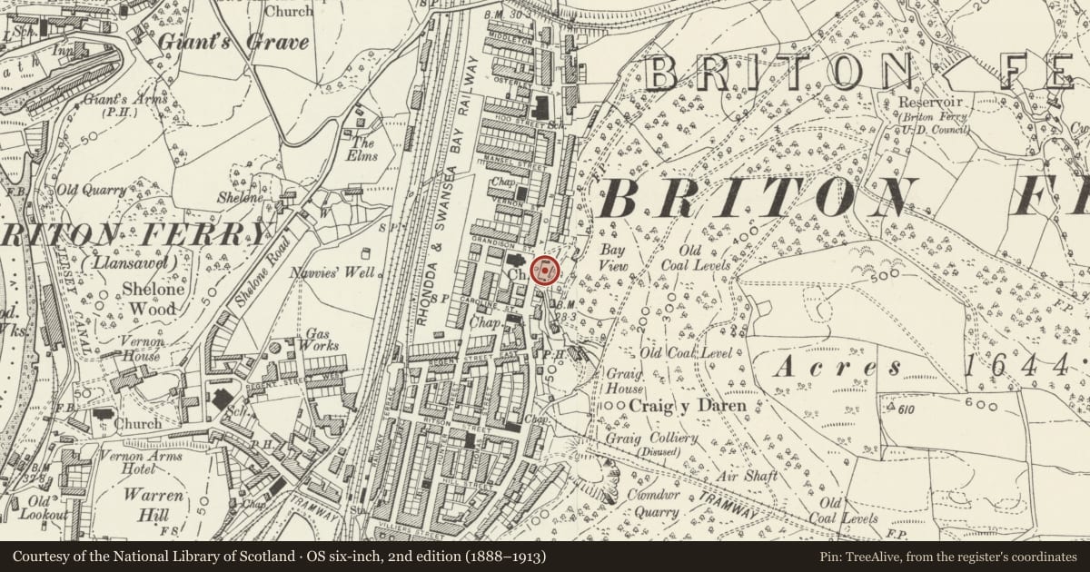
Slide toward Today to fade the historical sheet and see the modern map underneath.
David Rumsey Map Collection, Stanford LibrariesDavid Rumsey Map Collection, Stanford LibrariesDavid Rumsey Map Collection, Stanford LibrariesDavid Rumsey Map Collection, Stanford LibrariesDavid Rumsey Map Collection, Stanford Libraries
5 historical maps cover this location, the earliest the 1636 map "Cornubia : Devonia, Somersetus, Dorcestria, Wiltonia, Glocestria ..." (David Rumsey Map Collection, Stanford Libraries).
Historical maps covering this location
- 1636 · Cornubia : Devonia, Somersetus, Dorcestria, Wiltonia, Glocestria ... (David Rumsey Map Collection, Stanford Libraries)
- 1637 · The fourth table of England. Cornub. Devonia, Somerset etc. (David Rumsey Map Collection, Stanford Libraries)
- 1865 · England and Wales. England No. 6. (David Rumsey Map Collection, Stanford Libraries)
- 1891 · Sheet 10. Ordnance Survey of England and Wales. . (David Rumsey Map Collection, Stanford Libraries)
- 1897 · 247 Swansea (Hills) (David Rumsey Map Collection, Stanford Libraries)
Cadw's description
Location
Sited directly opposite the church of St Clement.
Exterior
A bronze statue mounted on a pedestal, surrounded by a precinct and steps. The pedestal is of granite with moulded cap and base and a stepped plinth. Above is the statue of an infantryman with bowed head and rifle pointing to the ground, sculpted by Gaffin of Regent Street, London. The pedestal has a roll of honour in engraved black letters. The front of the base has a bronze trophy comprising a crossed rifle and sword sheath with a wreath in the centre. The back of the base has a bronze trophy comprising an anchor, rope, telescope and chart with a wreath. The remaining sides have added bronze plaques listing the 1939-45 war dead.
The pavement surrounding the statue is renewed. It is built into a bank with coursed rock-faced revetment walls with ashlar coping. The side walls are ramped and return outwards to flank the original approach steps, but the present approach steps and related balustrades are later, added after 1945. These are of reconstituted stone and comprise steps with flanking balustrades terminated by square piers. Facing the front the balustrades return outwards and rusticated pilasters flank panels either side engraved with the dates of the 2 wars. Beyond are rock-faced walls, terminating in a square pier on the R side and on the L side integral with a segmental-arched doorway with double boarded doors attached to Sturn Lodge (150a Neath Road).
Reason for designation
Listed for architectural interest as a prominent and well-designed war memorial, and for social-historical interest.
Nearby in the register
- Church of St ClementReligious, Ritual and Funeraryunder 1 mi
- Salem Baptist ChapelReligious, Ritual and Funeraryunder 1 mi
- Briton Ferry Library including attached Library HouseInstitutionalunder 1 mi
- Former Steam Power House at Briton Ferry DocksIndustrialunder 1 mi
Other entries of the same register within about three miles of this one, by straight line.