Cof Cymru: National Historic Assets of Wales · Wales
78 Lower Dock Street
Stow Hill, Newport, Wales
A Grade II listed building in Stow Hill, Newport, designated on 2 May 1980.
The record
- Designation
- Listed building, Grade II
- Broad class
- Domestic
- Date of designation
- 2 May 1980
- Community
- Stow Hill
- Unitary authority
- Newport
- Country
- Wales
- Coordinates
- 51.58299, -2.98925
- Cadw reference
- 23145
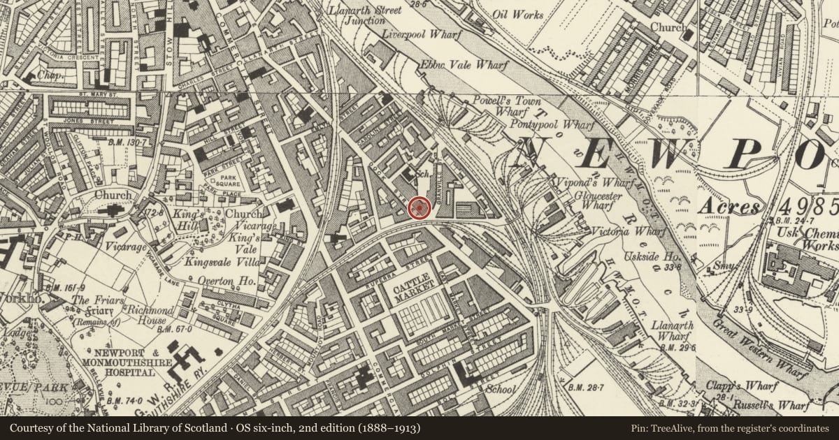
Slide toward Today to fade the historical sheet and see the modern map underneath.
David Rumsey Map Collection, Stanford LibrariesDavid Rumsey Map Collection, Stanford LibrariesDavid Rumsey Map Collection, Stanford LibrariesDavid Rumsey Map Collection, Stanford LibrariesDavid Rumsey Map Collection, Stanford Libraries
5 historical maps cover this location, the earliest the 1636 map "Cornubia : Devonia, Somersetus, Dorcestria, Wiltonia, Glocestria ..." (David Rumsey Map Collection, Stanford Libraries).
Historical maps covering this location
- 1636 · Cornubia : Devonia, Somersetus, Dorcestria, Wiltonia, Glocestria ... (David Rumsey Map Collection, Stanford Libraries)
- 1865 · England and Wales. England No. 6. (David Rumsey Map Collection, Stanford Libraries)
- 1895 · Sheet 11. Ordnance Survey of England and Wales. (David Rumsey Map Collection, Stanford Libraries)
- 1906 · 249 Newport (Hills) (David Rumsey Map Collection, Stanford Libraries)
- 1913 · Sheet 102. Newport. (David Rumsey Map Collection, Stanford Libraries)
Cadw's description
Location
On corner with George Street
Exterior
Three storey, three window house. Stucco with band courses; parapet. Top floor has almost square windows (casement glazing); first floor has modern casement glazing; ground floor window covered. Doorway (to L) has semi-circular overlight; quarter Doric columns to angles; door covered.
Reason for designation
Included as early C19 house with Greek revival detailing. Group value with adjacent listed house.
Nearby in the register
- 77 Lower Dock StreetDomesticunder 1 mi
- Liscombe ManufacturingCommercialunder 1 mi
- 120 Lower Dock StreetCommercialunder 1 mi
- Old Custom House (Celtic Displays)Maritimeunder 1 mi
Other entries of the same register within about three miles of this one, by straight line.