Cof Cymru: National Historic Assets of Wales · Wales
Next (152-153)
Stow Hill, Newport, Wales
A Grade II listed building in Stow Hill, Newport, designated on 31 March 2000.
The record
- Designation
- Listed building, Grade II
- Broad class
- Commercial
- Date of designation
- 31 March 2000
- Community
- Stow Hill
- Unitary authority
- Newport
- Country
- Wales
- Coordinates
- 51.58595, -2.99528
- Cadw reference
- 23113
Slide toward Today to fade the historical sheet and see the modern map underneath.
David Rumsey Map Collection, Stanford LibrariesDavid Rumsey Map Collection, Stanford LibrariesDavid Rumsey Map Collection, Stanford LibrariesDavid Rumsey Map Collection, Stanford LibrariesDavid Rumsey Map Collection, Stanford Libraries
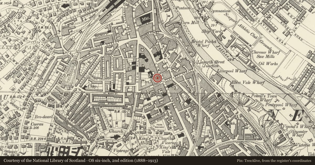
5 historical maps cover this location, the earliest the 1636 map "Cornubia : Devonia, Somersetus, Dorcestria, Wiltonia, Glocestria ..." (David Rumsey Map Collection, Stanford Libraries).
Historical maps covering this location
- 1636 · Cornubia : Devonia, Somersetus, Dorcestria, Wiltonia, Glocestria ... (David Rumsey Map Collection, Stanford Libraries)
- 1865 · England and Wales. England No. 6. (David Rumsey Map Collection, Stanford Libraries)
- 1895 · Sheet 11. Ordnance Survey of England and Wales. (David Rumsey Map Collection, Stanford Libraries)
- 1906 · 249 Newport (Hills) (David Rumsey Map Collection, Stanford Libraries)
- 1913 · Sheet 102. Newport. (David Rumsey Map Collection, Stanford Libraries)
Cadw's description
Location
On corner with McCarthy’s Court.
History
By Habershon & Faulkner, architects, of Newport and London.
Exterior
Three storeys plus attic. Red brick with painted bathstone dressings. To R (north) corner turret (dome lost) which has mullion and transom windows with sash glazing. Facing Commercial Street, three bays; first and second each have attic dormer (pediments lost) with flanking scrolls; paired windows. On second floor, large round windows with relief decoration in spandrels, and balustrades over first floor oriel window. Third bays have mullion and transom windows. Above modern shopfront, stone banding and balustrade. Very simple elevation to lane to R.
Reason for designation
Late Victorian commercial development in Conservation Area.
Nearby in the register
- 157-160 (Consecutive)Commercialunder 1 mi
- Lloyds TSBCommercialunder 1 mi
- 144 Commercial StreetCommercialunder 1 mi
- HalifaxCommercialunder 1 mi
Other entries of the same register within about three miles of this one, by straight line.