Cof Cymru: National Historic Assets of Wales · Wales
Garden railings and gate at Trostrey Lodge
Llanarth, Monmouthshire, Wales
A Grade II listed building in Bettws Newydd, Usk, Llanarth, Monmouthshire, designated on 15 March 2000.
The record
- Designation
- Listed building, Grade II
- Broad class
- Gardens, Parks and Urban Spaces
- Date of designation
- 15 March 2000
- Locality
- Bettws Newydd
- Town
- Usk
- Community
- Llanarth
- Unitary authority
- Monmouthshire
- Country
- Wales
- Coordinates
- 51.76207, -2.93296
- Cadw reference
- 23010
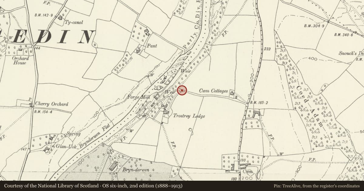
Slide toward Today to fade the historical sheet and see the modern map underneath.
David Rumsey Map Collection, Stanford LibrariesDavid Rumsey Map Collection, Stanford LibrariesDavid Rumsey Map Collection, Stanford LibrariesDavid Rumsey Map Collection, Stanford LibrariesDavid Rumsey Map Collection, Stanford Libraries
5 historical maps cover this location, the earliest the 1636 map "Cornubia : Devonia, Somersetus, Dorcestria, Wiltonia, Glocestria ..." (David Rumsey Map Collection, Stanford Libraries).
Historical maps covering this location
- 1636 · Cornubia : Devonia, Somersetus, Dorcestria, Wiltonia, Glocestria ... (David Rumsey Map Collection, Stanford Libraries)
- 1895 · Sheet 11. Ordnance Survey of England and Wales. (David Rumsey Map Collection, Stanford Libraries)
- 1898 · 232 Abergavenny (Hills) (David Rumsey Map Collection, Stanford Libraries)
- 1898 · 232 Abergavenny (Outline) (David Rumsey Map Collection, Stanford Libraries)
- 1913 · Sheet 102. Newport. (David Rumsey Map Collection, Stanford Libraries)
Cadw's description
Location
Situated on outer edge of E lawn at Trostrey Lodge.
History
Earlier C19 short length of decorative iron railings and gate between front lawn and ha-ha at Trostrey Lodge, a house probably rebuilt c1820-30.
Exterior
Short length of iron spearhead rails each side of pedestrian gate to bridge over ha-ha. Urn stanchions each side of gate and at each end, the rails ramped down in centre of each length and slightly out-turned at extreme ends. Gate has mid-rail with wrought iron band of large and small lozenges.
Reason for designation
Attractive early C19 iron railings to ha-ha, of group value with Trostrey Lodge.
Nearby in the register
- Trostrey LodgeDomesticunder 1 mi
- Cwm Farmhouse and attached outbuildingDomesticunder 1 mi
- Barn range at Cwm FarmAgriculture and Subsistenceunder 1 mi
- Outbuilding at E end of farmyard at Cwm FarmAgriculture and Subsistenceunder 1 mi
Other entries of the same register within about three miles of this one, by straight line.