Cof Cymru: National Historic Assets of Wales · Wales
Pont Coetmor (partly in Llandygai and Bethesda communities)
Llanllechid, Gwynedd, Wales
A Grade II listed building in Tregarth, Llanllechid, Gwynedd, designated on 25 April 1997.
The record
- Designation
- Listed building, Grade II
- Broad class
- Transport
- Date of designation
- 25 April 1997
- Locality
- Tregarth
- Community
- Llanllechid
- Unitary authority
- Gwynedd
- Country
- Wales
- Coordinates
- 53.18997, -4.08074
- Cadw reference
- 22975
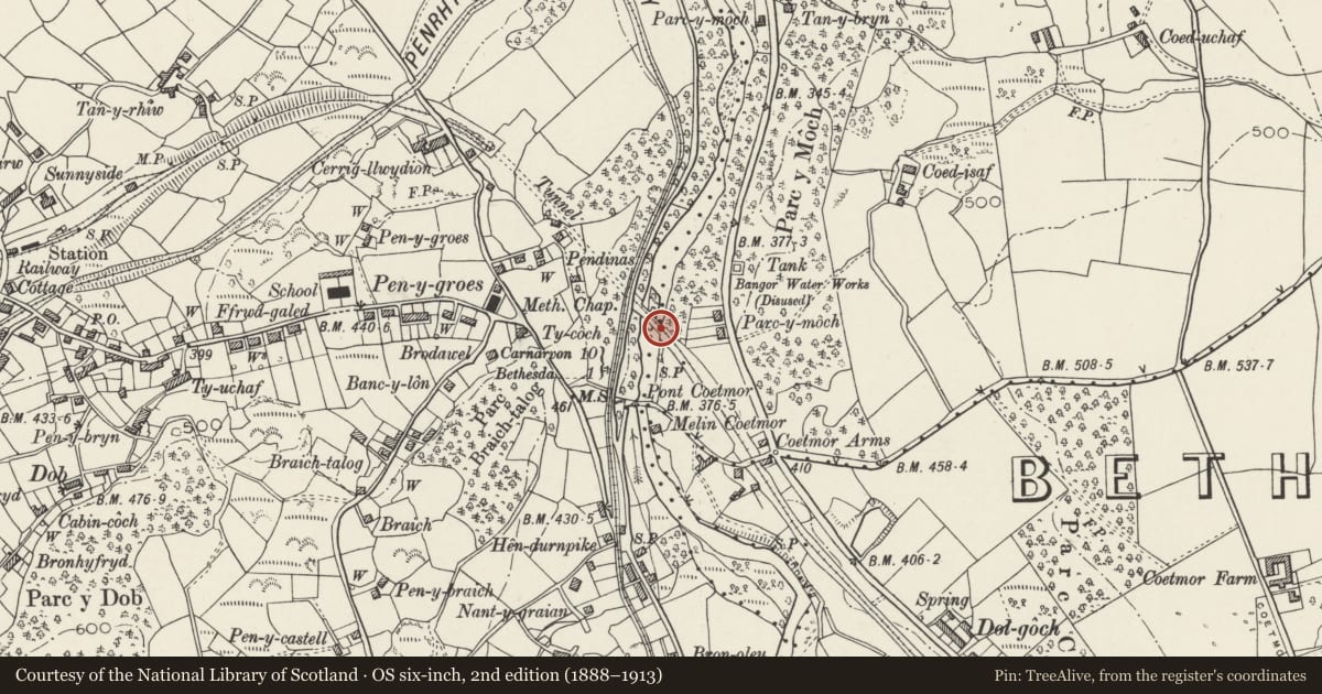
Slide toward Today to fade the historical sheet and see the modern map underneath.
David Rumsey Map Collection, Stanford LibrariesDavid Rumsey Map Collection, Stanford LibrariesDavid Rumsey Map Collection, Stanford LibrariesDavid Rumsey Map Collection, Stanford LibrariesDavid Rumsey Map Collection, Stanford Libraries
5 historical maps cover this location, the earliest the 1896 map "Sheet 7. Ordnance Survey of England and Wales." (David Rumsey Map Collection, Stanford Libraries).
Historical maps covering this location
- 1896 · Sheet 7. Ordnance Survey of England and Wales. (David Rumsey Map Collection, Stanford Libraries)
- 1899 · 106 Bangor (Hills) (David Rumsey Map Collection, Stanford Libraries)
- 1899 · 106 Bangor (Outline) (David Rumsey Map Collection, Stanford Libraries)
- 1901 · Sheet 9 and 10. (David Rumsey Map Collection, Stanford Libraries)
- 1919 · Sheet 41. Anglesey. (David Rumsey Map Collection, Stanford Libraries)
Cadw's description
Location
Spanning the Afon Ogwen on the minor road between Tregarth and Rachub with the railway bridge of the disused branch of the London and North-Western Railway also crossing the river a little to the north.
Nearby in the register
- Pont y GoetmorTransportunder 1 mi
- Pont Coetmor (partly in Llanllechid and Bethesda communities)Transportunder 1 mi
- Pen Dinas CampHillfortunder 1 mi
- Pen DinasDomesticunder 1 mi
Other entries of the same register within about three miles of this one, by straight line.