Cof Cymru: National Historic Assets of Wales · Wales
Pen-y-bont Cottages
Corris, Gwynedd, Wales
A Grade II listed building in Pantperthog, Machynlleth, Corris, Gwynedd, designated on 18 July 1990.
The record
- Designation
- Listed building, Grade II
- Broad class
- Domestic
- Date of designation
- 18 July 1990
- Locality
- Pantperthog
- Town
- Machynlleth
- Community
- Corris
- Unitary authority
- Gwynedd
- Country
- Wales
- Coordinates
- 52.60082, -3.85599
- Cadw reference
- 22892
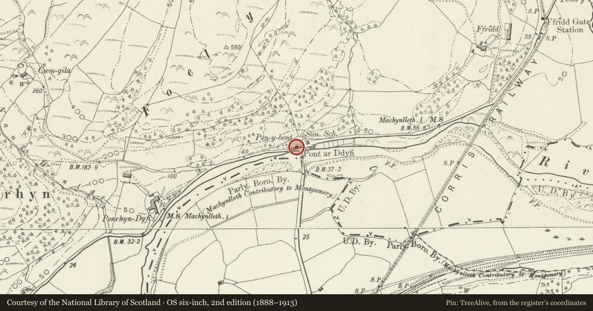
Slide toward Today to fade the historical sheet and see the modern map underneath.
David Rumsey Map Collection, Stanford LibrariesDavid Rumsey Map Collection, Stanford LibrariesDavid Rumsey Map Collection, Stanford LibrariesDavid Rumsey Map Collection, Stanford LibrariesLlyfrgell Genedlaethol Cymru – The National Library of Wales
5 historical maps cover this location, the earliest the 1795 map "To Sir Watkin Williams-Wynn Bart ... the map of the six counties of North Wales is most humbly inscribed by his obedient humble servant" (Llyfrgell Genedlaethol Cymru – The National Library of Wales).
Historical maps covering this location
- 1795 · To Sir Watkin Williams-Wynn Bart ... the map of the six counties of North Wales is most… (Llyfrgell Genedlaethol Cymru – The National Library of Wales)
- 1883 · Watershed map England, Wales 3. (David Rumsey Map Collection, Stanford Libraries)
- 1896 · Sheet 7. Ordnance Survey of England and Wales. (David Rumsey Map Collection, Stanford Libraries)
- 1899 · 149 Barmouth (Hills) (David Rumsey Map Collection, Stanford Libraries)
- 1901 · Sheet 9 and 10. (David Rumsey Map Collection, Stanford Libraries)
Cadw's description
Location
On the N bridgehead of the Pont-ar-Ddyfi facing S across the river towards Machynlleth.
History
The cottages were probably built at various periods from the early-mid C19, with later alterations.
Exterior
Single bay cottage, with a boarded door with applied cover strips on the left. 2-light window to both ground and first floors. Applied timber framing to the front.
Reason for designation
Included as a good group of traditional cottages in vernacular style of the early C19, in an important and conspicuous location by the bridgehead.
Nearby in the register
- Dovey Cottage, Pen-y-bont CottagesDomesticunder 1 mi
- Pen-y-bont CottagesDomesticunder 1 mi
- Pen-y-bont CottagesDomesticunder 1 mi
- Pen-y-bont CottagesDomesticunder 1 mi
Other entries of the same register within about three miles of this one, by straight line.