Cof Cymru: National Historic Assets of Wales · Wales
Walls and gatepiers to courtyard entrance at Craig-y-parc
Pentyrch, Cardiff, Wales
A Grade II listed building in Craig-y-parc, Pentyrch, Cardiff, designated on 31 January 2000.
The record
- Designation
- Listed building, Grade II
- Broad class
- Gardens, Parks and Urban Spaces
- Date of designation
- 31 January 2000
- Locality
- Craig-y-parc
- Community
- Pentyrch
- Unitary authority
- Cardiff
- Country
- Wales
- Coordinates
- 51.51947, -3.30442
- Cadw reference
- 22819
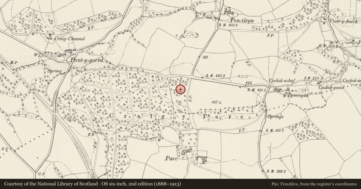
Slide toward Today to fade the historical sheet and see the modern map underneath.
David Rumsey Map Collection, Stanford LibrariesDavid Rumsey Map Collection, Stanford LibrariesDavid Rumsey Map Collection, Stanford LibrariesDavid Rumsey Map Collection, Stanford LibrariesDavid Rumsey Map Collection, Stanford Libraries
5 historical maps cover this location, the earliest the 1636 map "Cornubia : Devonia, Somersetus, Dorcestria, Wiltonia, Glocestria ..." (David Rumsey Map Collection, Stanford Libraries).
Historical maps covering this location
- 1636 · Cornubia : Devonia, Somersetus, Dorcestria, Wiltonia, Glocestria ... (David Rumsey Map Collection, Stanford Libraries)
- 1637 · The fourth table of England. Cornub. Devonia, Somerset etc. (David Rumsey Map Collection, Stanford Libraries)
- 1865 · England and Wales. England No. 6. (David Rumsey Map Collection, Stanford Libraries)
- 1898 · 263 Cardiff (Hills) (David Rumsey Map Collection, Stanford Libraries)
- 1913 · Sheet 110. Cardiff & Mouth of the Severn. (David Rumsey Map Collection, Stanford Libraries)
Cadw's description
Location
On the N side of Craig-y-parc house and enclosing the N courtyard of the house.
History
Built c 1915 by C E Mallows, designer of the house and the garden landscaping.
Exterior
The walls which create the front courtyard extend N from the NE and NW corners of the main frontage. To E they are c 1.2m high of rubble with flat stone coping with a gap to garage courtyard; at NE is a square pier c 3m high; upper part of wall has a narrow recessed panel on each side above which are 2 tiers of nesting holes for doves with a single entrance on each side and protruding stone ledges; above is a pyramidal top. N walls are similar to E. Entrance is flanked by square piers c 2.7m high with moulded ashlar coping surmounted by metal lanterns with wrought iron bases. W wall has central opening and sections of wooden trellis work in the upper half with pitched stone tile coping.
Reason for designation
Included as part of the original garden design and for group value with house, gatehouse and other listed garden features.
Nearby in the register
- Craig-y-parc HouseDomesticunder 1 mi
- Garden terrace and steps at Craig-y-parcGardens, Parks and Urban Spacesunder 1 mi
- Lodge at Craig-y-parcDomesticunder 1 mi
- Loggia at Craig-y-parc and attached terrace walls and stepsGardens, Parks and Urban Spacesunder 1 mi
Other entries of the same register within about three miles of this one, by straight line.