Cof Cymru: National Historic Assets of Wales · Wales
Entrance to Tredegar Grounds
Risca, Caerphilly, Wales
A Grade II listed building in Risca, Caerphilly, designated on 22 October 1999.
The record
- Designation
- Listed building, Grade II
- Broad class
- Gardens, Parks and Urban Spaces
- Date of designation
- 22 October 1999
- Locality
- Risca
- Community
- Risca
- Unitary authority
- Caerphilly
- Country
- Wales
- Coordinates
- 51.60728, -3.10037
- Cadw reference
- 22516
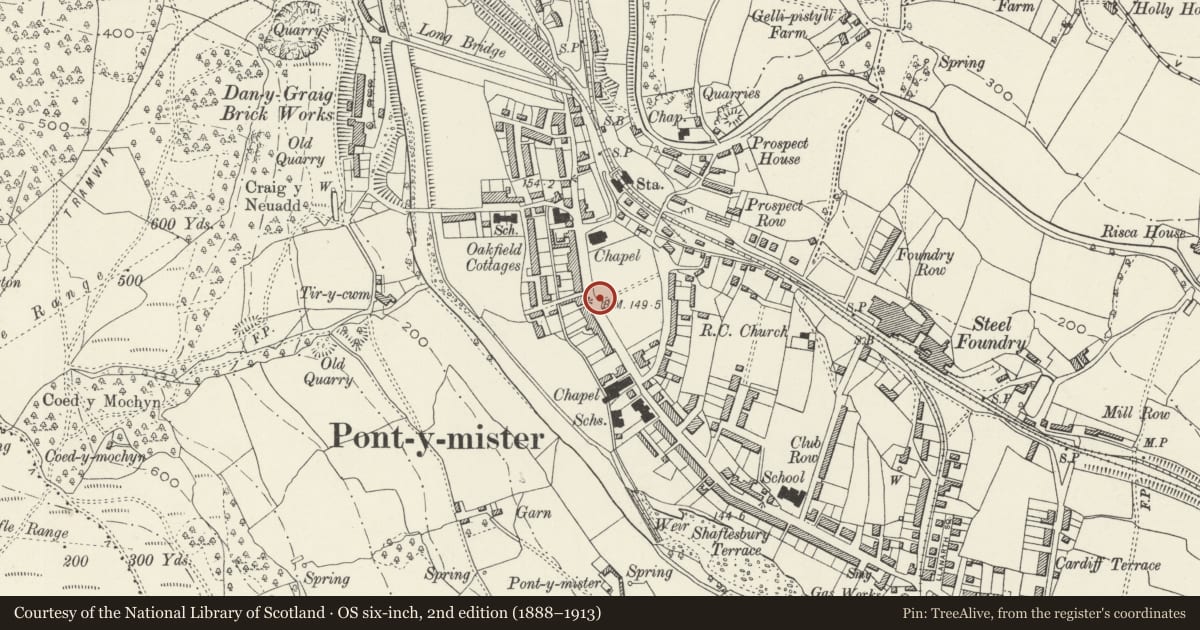
Slide toward Today to fade the historical sheet and see the modern map underneath.
David Rumsey Map Collection, Stanford LibrariesDavid Rumsey Map Collection, Stanford LibrariesDavid Rumsey Map Collection, Stanford LibrariesDavid Rumsey Map Collection, Stanford LibrariesDavid Rumsey Map Collection, Stanford Libraries
5 historical maps cover this location, the earliest the 1636 map "Cornubia : Devonia, Somersetus, Dorcestria, Wiltonia, Glocestria ..." (David Rumsey Map Collection, Stanford Libraries).
Historical maps covering this location
- 1636 · Cornubia : Devonia, Somersetus, Dorcestria, Wiltonia, Glocestria ... (David Rumsey Map Collection, Stanford Libraries)
- 1865 · England and Wales. England No. 6. (David Rumsey Map Collection, Stanford Libraries)
- 1895 · Sheet 11. Ordnance Survey of England and Wales. (David Rumsey Map Collection, Stanford Libraries)
- 1906 · 249 Newport (Hills) (David Rumsey Map Collection, Stanford Libraries)
- 1913 · Sheet 102. Newport. (David Rumsey Map Collection, Stanford Libraries)
Cadw's description
Location
In the centre of the town between the main thoroughfare and the railway.
History
This small town centre park, known as Tredegar Grounds, was given to the inhabitants of Risca by Lord Tredegar to commemorate the Diamond Jubilee of Queen Victoria in 1897.
Exterior
Entrance bay has four piers, the two outer linked to the two inner by lengths of modern curved railing, the latter with fixings for the gates and relief lettering. Tall rectangular piers are of red and blue plain and moulded brick with ashlar caps, surmounted by stone orb finails (only one extant); deep plinth. Inset into the 4 brick faces are terracotta plaques moulded with a stag's head. Iron railings with looped tops and small finials and swept iron double gates link the piers.
Reason for designation
Included for historic interest and group value with the Jubilee Statue also in the Grounds and in particular with the two Baptist Churches at either end.
Nearby in the register
- Jubilee Statue in Tredegar GroundsCommemorativeunder 1 mi
- Moriah Baptist ChurchReligious, Ritual and Funeraryunder 1 mi
- Former Risca Palace CinemaRecreationalunder 1 mi
- Bethany English Baptist Church and attached Sunday SchoolReligious, Ritual and Funeraryunder 1 mi
Other entries of the same register within about three miles of this one, by straight line.