Cof Cymru: National Historic Assets of Wales · Wales
Pistyll Limeworks chimney
Llandybie, Carmarthenshire, Wales
A Grade II listed building in Pistyll, Ammanford, Llandybie, Carmarthenshire, designated on 27 August 1999.
The record
- Designation
- Listed building, Grade II
- Broad class
- Industrial
- Date of designation
- 27 August 1999
- Locality
- Pistyll
- Town
- Ammanford
- Community
- Llandybie
- Unitary authority
- Carmarthenshire
- Country
- Wales
- Coordinates
- 51.83243, -4.00010
- Cadw reference
- 22229
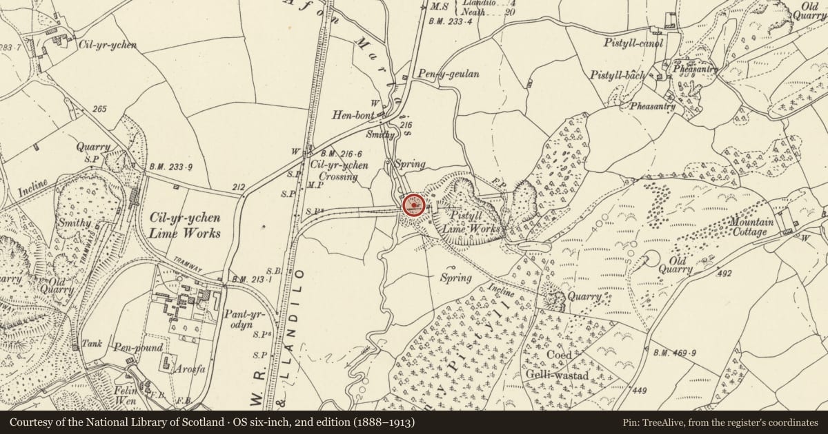
Slide toward Today to fade the historical sheet and see the modern map underneath.
David Rumsey Map Collection, Stanford LibrariesDavid Rumsey Map Collection, Stanford LibrariesDavid Rumsey Map Collection, Stanford LibrariesDavid Rumsey Map Collection, Stanford LibrariesDavid Rumsey Map Collection, Stanford Libraries
5 historical maps cover this location, the earliest the 1860 map "41. Caermathen." (David Rumsey Map Collection, Stanford Libraries).
Historical maps covering this location
- 1860 · 41. Caermathen. (David Rumsey Map Collection, Stanford Libraries)
- 1891 · Sheet 10. Ordnance Survey of England and Wales. . (David Rumsey Map Collection, Stanford Libraries)
- 1898 · 230 Ammanford (Hills) (David Rumsey Map Collection, Stanford Libraries)
- 1898 · 230 Ammanford (Outline) (David Rumsey Map Collection, Stanford Libraries)
- 1901 · Sheet 14. (David Rumsey Map Collection, Stanford Libraries)
Cadw's description
Location
To the west side of Pistyll Limeworks
History
Late C19 or early C20 chimney probably intended for a works boilerhouse, as part of the Pistyll Limeworks. (Not marked on the 1876 Ordnance Survey map.)
Exterior
A square brickwork chimney about 20m in height, tapering from about 2m at base to about 1½m at top. Cornice of about 4 corbelled courses near the top, with reducing courses above. Small arched apertures at base at east and west sides.
Reason for designation
Listed for group value with Pistyll Limekilns.
Nearby in the register
- Pistyll LimekilnsIndustrialunder 1 mi
- Cil-yr-ychen Lime KilnsIndustrialunder 1 mi
- Felin Wen, LlandybieIndustrialunder 1 mi
- Cil-yr-ychen FarmhouseAgriculture and Subsistenceunder 1 mi
Other entries of the same register within about three miles of this one, by straight line.