Cof Cymru: National Historic Assets of Wales · Wales
Pant-y-garn Limekiln No. II (to east)
Llanfihangel Aberbythych, Carmarthenshire, Wales
A Grade II listed building in Carmel Woods, Llanelli, Llanfihangel Aberbythych, Carmarthenshire, designated on 27 August 1999.
The record
- Designation
- Listed building, Grade II
- Broad class
- Industrial
- Date of designation
- 27 August 1999
- Locality
- Carmel Woods
- Town
- Llanelli
- Community
- Llanfihangel Aberbythych
- Unitary authority
- Carmarthenshire
- Country
- Wales
- Coordinates
- 51.82985, -4.03472
- Cadw reference
- 22194
Slide toward Today to fade the historical sheet and see the modern map underneath.
David Rumsey Map Collection, Stanford LibrariesDavid Rumsey Map Collection, Stanford LibrariesDavid Rumsey Map Collection, Stanford LibrariesDavid Rumsey Map Collection, Stanford LibrariesDavid Rumsey Map Collection, Stanford Libraries
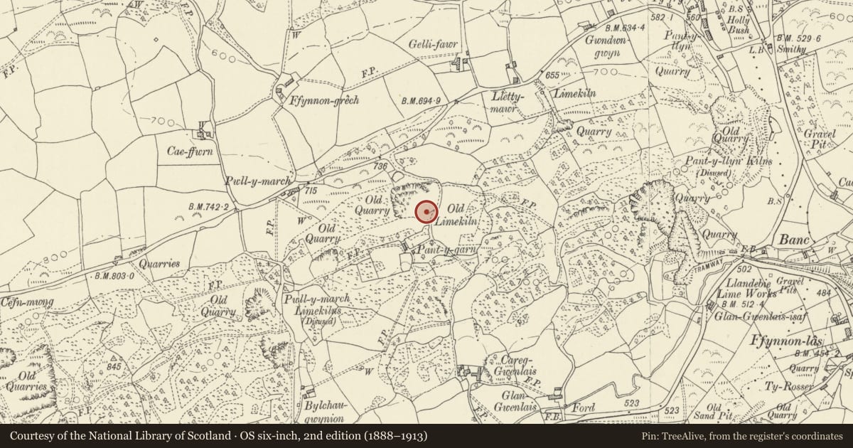
5 historical maps cover this location, the earliest the 1860 map "41. Caermathen." (David Rumsey Map Collection, Stanford Libraries).
Historical maps covering this location
- 1860 · 41. Caermathen. (David Rumsey Map Collection, Stanford Libraries)
- 1891 · Sheet 10. Ordnance Survey of England and Wales. . (David Rumsey Map Collection, Stanford Libraries)
- 1898 · 230 Ammanford (Hills) (David Rumsey Map Collection, Stanford Libraries)
- 1898 · 230 Ammanford (Outline) (David Rumsey Map Collection, Stanford Libraries)
- 1901 · Sheet 14. (David Rumsey Map Collection, Stanford Libraries)
Cadw's description
Location
150m south of the Carmel to Pant-y-llyn road; reached by a lane commencing midway between Pwll-y-march and Lletty-mawr. Quarry to north.
History
This limekiln is shown in c1876-85, and shown as disused in 1906. It is on a landholding which was named Pant-y-garn in the 1839 survey (based on a now ruined C17 farmhouse at 25983 21647).
Exterior
A single limekiln in uncoursed limestone masonry. About 8m in width, about 5m high. Slightly bowed front wall with sides returning at nearly 90°; ramp wall at rear. Two small working areas each with a semicircular outer arch; pier of masonry between. Roughly corbelled over the working openings.
Interior diameter is not apparent.
Reason for designation
A well-preserved limekiln in an area of intensive C19 and C20 quarrying and lime-burning industry; one of an important surviving contemporary group.
Nearby in the register
- Pant-y-garn Limekiln No. I (to west)Industrialunder 1 mi
- Lletty-mawr LimekilnIndustrialunder 1 mi
- Pwll-y-march LimekilnsIndustrialunder 1 mi
- Bwlchau LimekilnIndustrialunder 1 mi
Other entries of the same register within about three miles of this one, by straight line.