Cof Cymru: National Historic Assets of Wales · Wales
Llys Awel
Waunfawr, Gwynedd, Wales
A Grade II listed building in Pentre Bryn yr Eithin, Caernarfon, Waunfawr, Gwynedd, designated on 21 July 1999.
The record
- Designation
- Listed building, Grade II
- Broad class
- Domestic
- Date of designation
- 21 July 1999
- Locality
- Pentre Bryn yr Eithin
- Town
- Caernarfon
- Community
- Waunfawr
- Unitary authority
- Gwynedd
- Country
- Wales
- Coordinates
- 53.11231, -4.20022
- Cadw reference
- 22048
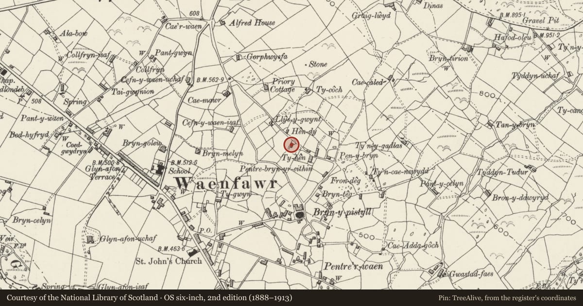
Slide toward Today to fade the historical sheet and see the modern map underneath.
David Rumsey Map Collection, Stanford LibrariesDavid Rumsey Map Collection, Stanford LibrariesDavid Rumsey Map Collection, Stanford LibrariesDavid Rumsey Map Collection, Stanford LibrariesDavid Rumsey Map Collection, Stanford Libraries
5 historical maps cover this location, the earliest the 1896 map "Sheet 7. Ordnance Survey of England and Wales." (David Rumsey Map Collection, Stanford Libraries).
Historical maps covering this location
- 1896 · Sheet 7. Ordnance Survey of England and Wales. (David Rumsey Map Collection, Stanford Libraries)
- 1899 · 106 Bangor (Outline) (David Rumsey Map Collection, Stanford Libraries)
- 1899 · 106 Bangor (Hills) (David Rumsey Map Collection, Stanford Libraries)
- 1901 · Sheet 9 and 10. (David Rumsey Map Collection, Stanford Libraries)
- 1919 · Sheet 41. Anglesey. (David Rumsey Map Collection, Stanford Libraries)
Cadw's description
Location
Situated just below the road with a rubble-walled footpath running in front of the building.
History
Not shown on the 1839 Tithe Map, the house is likely to have been built c1850 as a small farmhouse or larger than average smallholder's cottage.
Exterior
Main part of one storey and attic 2-room plan with central passage-way and end stacks; single-storey range attached to left gable end. Irregularly coursed rubblestone, rendered to front wall of main part, limewashed to single-storey section; slate roofs, graded to single-storey section. Main part has central gabled porch with narrow windows to sides and inner C20 half-glazed door; 4-paned sashes to either side and of reduced proportions to gabled eaves dormers directly above; integral end stacks. Single-storey section has 2 casement windows and tall integral end stack to left.
Interior
Interior not accessible at time of Survey.
Reason for designation
Included as a largely unaltered mid-C19 small farmhouse or large smallholder's cottage, built in the local vernacular tradition and retaining its original overall form and much of its detailing.
Nearby in the register
- War MemorialCommemorativeunder 1 mi
- Cae GlasAgriculture and Subsistenceunder 1 mi
- Pont Cyrnant (partly in Betws Garmon community)Transportunder 1 mi
- Pont Cyrnant (partly in Waunfawr Community)Transportunder 1 mi
Other entries of the same register within about three miles of this one, by straight line.