Cof Cymru: National Historic Assets of Wales · Wales
Dryslwyn-fawr Former Stables Range
Llanarthney, Carmarthenshire, Wales
A Grade II listed building in Dryslwyn, Carmarthen, Llanarthney, Carmarthenshire, designated on 19 May 1999.
The record
- Designation
- Listed building, Grade II
- Broad class
- Agriculture and Subsistence
- Date of designation
- 19 May 1999
- Locality
- Dryslwyn
- Town
- Carmarthen
- Community
- Llanarthney
- Unitary authority
- Carmarthenshire
- Country
- Wales
- Coordinates
- 51.85817, -4.10097
- Cadw reference
- 21750
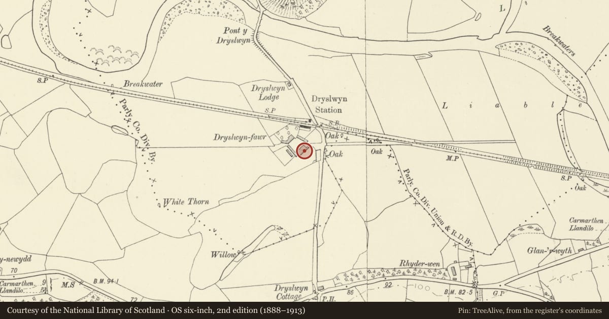
Slide toward Today to fade the historical sheet and see the modern map underneath.
David Rumsey Map Collection, Stanford LibrariesDavid Rumsey Map Collection, Stanford LibrariesDavid Rumsey Map Collection, Stanford LibrariesDavid Rumsey Map Collection, Stanford LibrariesDavid Rumsey Map Collection, Stanford Libraries
5 historical maps cover this location, the earliest the 1860 map "41. Caermathen." (David Rumsey Map Collection, Stanford Libraries).
Historical maps covering this location
- 1860 · 41. Caermathen. (David Rumsey Map Collection, Stanford Libraries)
- 1891 · Sheet 10. Ordnance Survey of England and Wales. . (David Rumsey Map Collection, Stanford Libraries)
- 1898 · 230 Ammanford (Hills) (David Rumsey Map Collection, Stanford Libraries)
- 1898 · 230 Ammanford (Outline) (David Rumsey Map Collection, Stanford Libraries)
- 1901 · Sheet 14. (David Rumsey Map Collection, Stanford Libraries)
Cadw's description
Location
To the south side of the front yard of Dryslwyn-fawr, parallel to and south of the cartsheds range.
History
A late-C19 stable range for working horses on the farm, now used as a poultry unit. The building has been lengthened to the west.
Exterior
A low building facing north to the rear of the cartsheds range, with remnants of a paved yard between the buildings. Brickwork at front, much altered; rubble stone masonry at rear and sides. Slate roof with tile ridge, the slates laid in 'to'r brat' technique. The openings face north to the paved yard. Piers partly brick, partly stonework, with doors with heads at eaves height. One south opening only, a small high level barred window in the extension part.
Reason for designation
Listed for group value with the other listed buildings of Dryslwyn fawr farm, and as part of the remarkably complete model farm at Dryslwyn-fawr.
Nearby in the register
- Dryslwyn-fawr Cartshed and StablesAgriculture and Subsistenceunder 1 mi
- Dryslwyn-fawr CowshedAgriculture and Subsistenceunder 1 mi
- Dryslwyn-fawr Barn RangeAgriculture and Subsistenceunder 1 mi
- Dryslwyn-fawr FarmhouseAgriculture and Subsistenceunder 1 mi
Other entries of the same register within about three miles of this one, by straight line.