Cof Cymru: National Historic Assets of Wales · Wales
26-27 Nationwide Building Society
Castle, Cardiff, Wales
A Grade II listed building in Castle, Cardiff, designated on 30 April 1999.
The record
- Designation
- Listed building, Grade II
- Broad class
- Commercial
- Date of designation
- 30 April 1999
- Community
- Castle
- Unitary authority
- Cardiff
- Country
- Wales
- Coordinates
- 51.47887, -3.17804
- Cadw reference
- 21649
Slide toward Today to fade the historical sheet and see the modern map underneath.
David Rumsey Map Collection, Stanford LibrariesDavid Rumsey Map Collection, Stanford LibrariesDavid Rumsey Map Collection, Stanford LibrariesDavid Rumsey Map Collection, Stanford LibrariesDavid Rumsey Map Collection, Stanford Libraries
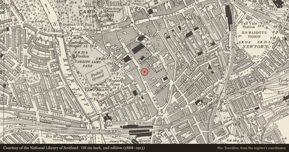
5 historical maps cover this location, the earliest the 1636 map "Cornubia : Devonia, Somersetus, Dorcestria, Wiltonia, Glocestria ..." (David Rumsey Map Collection, Stanford Libraries).
Historical maps covering this location
- 1636 · Cornubia : Devonia, Somersetus, Dorcestria, Wiltonia, Glocestria ... (David Rumsey Map Collection, Stanford Libraries)
- 1865 · England and Wales. England No. 6. (David Rumsey Map Collection, Stanford Libraries)
- 1895 · Sheet 11. Ordnance Survey of England and Wales. (David Rumsey Map Collection, Stanford Libraries)
- 1898 · 263 Cardiff (Hills) (David Rumsey Map Collection, Stanford Libraries)
- 1913 · Sheet 110. Cardiff & Mouth of the Severn. (David Rumsey Map Collection, Stanford Libraries)
Cadw's description
Location
To R of Cottage Public House.
History
Circa 1880.
Exterior
Pair of shops, now single premises. Three storeys, bathstone with granite colonettes to windows. Parapet with panelling, cornice above first floor. Each shop has tripartite second floor window of 3 shouldered arches with rope mouldings, keystones, relief heads in roundels, foliage band at impost level. First floor has triple round-arched window with keystones, granite colonettes. Modern shopfronts.
Reason for designation
Well-detailed C19 frontages. Group value.
Nearby in the register
- The CottageCommercialunder 1 mi
- 29 & 30Commercialunder 1 mi
- RohanCommercialunder 1 mi
- OddbinsCommercialunder 1 mi
Other entries of the same register within about three miles of this one, by straight line.