Cof Cymru: National Historic Assets of Wales · Wales
Hen Efail
Dolgellau, Gwynedd, Wales
A Grade II listed building in Ffordd Pencefn, Dolgellau, Gwynedd, designated on 20 April 1999.
The record
- Designation
- Listed building, Grade II
- Broad class
- Recreational
- Date of designation
- 20 April 1999
- Locality
- Ffordd Pencefn
- Town
- Dolgellau
- Community
- Dolgellau
- Unitary authority
- Gwynedd
- Country
- Wales
- Coordinates
- 52.75134, -3.89464
- Cadw reference
- 21619
Slide toward Today to fade the historical sheet and see the modern map underneath.
David Rumsey Map Collection, Stanford LibrariesDavid Rumsey Map Collection, Stanford LibrariesDavid Rumsey Map Collection, Stanford LibrariesLlyfrgell Genedlaethol Cymru – The National Library of WalesDavid Rumsey Map Collection, Stanford Libraries
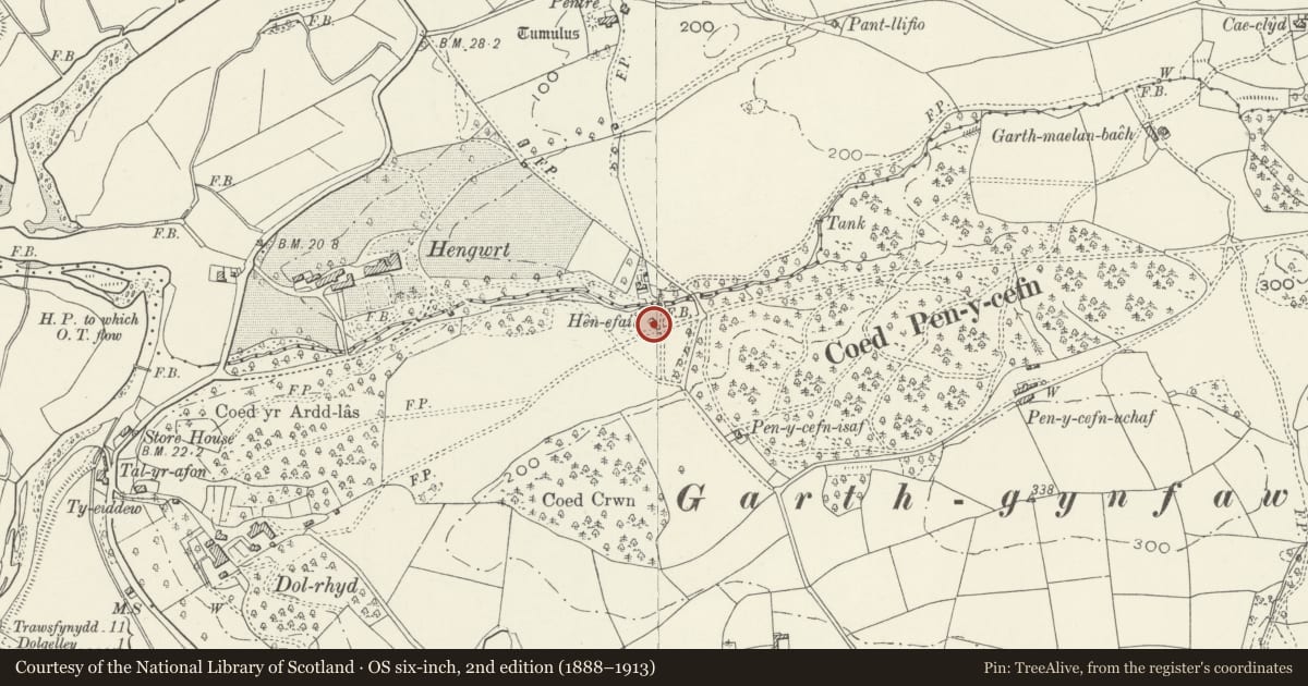
5 historical maps cover this location, the earliest the 1795 map "To Sir Watkin Williams-Wynn Bart ... the map of the six counties of North Wales is most humbly inscribed by his obedient humble servant" (Llyfrgell Genedlaethol Cymru – The National Library of Wales).
Historical maps covering this location
- 1795 · To Sir Watkin Williams-Wynn Bart ... the map of the six counties of North Wales is most… (Llyfrgell Genedlaethol Cymru – The National Library of Wales)
- 1883 · Watershed map England, Wales 3. (David Rumsey Map Collection, Stanford Libraries)
- 1896 · Sheet 7. Ordnance Survey of England and Wales. (David Rumsey Map Collection, Stanford Libraries)
- 1899 · 135 Harlech (Hills) (David Rumsey Map Collection, Stanford Libraries)
- 1901 · Sheet 9 and 10. (David Rumsey Map Collection, Stanford Libraries)
Cadw's description
Location
About 1km NW of centre of Dolgellau, on golf course, of which Hen Efail is now the club house.
History
The building is an estate cottage of the Hengwrt Estate, and probably reached its present form in around 1830, although heavy foundations suggest a possible earlier origin.
Exterior
One-and-a-half storey cottage; two window front. Local stone, with heavy foundations, old slate roof. Tall octagonal end chimneys. Two stone gabled dormers. Central doorway with window to each side. Glazing modern casements, except for window to L of doorway, which has older wooden mullion and transom window. To R, lean-to said to have been old smithy. To rear, central doorway (former window).
Reason for designation
A former estate cottage of the Hengwrt Estate, with striking "candlestick" chimneys.
Nearby in the register
- Pentre Farm BarrowRound Barrowunder 1 mi
- Barn Ranges at DolrhydAgriculture and Subsistenceunder 1 mi
- Stables at DolrhydDomesticunder 1 mi
- Dolrhyd HouseDomesticunder 1 mi
Other entries of the same register within about three miles of this one, by straight line.