Cof Cymru: National Historic Assets of Wales · Wales
Plas-isa
Dolbenmaen, Gwynedd, Wales
A Grade II listed building in Penmorfa, Dolbenmaen, Gwynedd, designated on 30 March 1999.
The record
- Designation
- Listed building, Grade II
- Broad class
- Domestic
- Date of designation
- 30 March 1999
- Locality
- Penmorfa
- Town
- Dolbenmaen
- Community
- Dolbenmaen
- Unitary authority
- Gwynedd
- Country
- Wales
- Coordinates
- 52.94333, -4.16091
- Cadw reference
- 21533
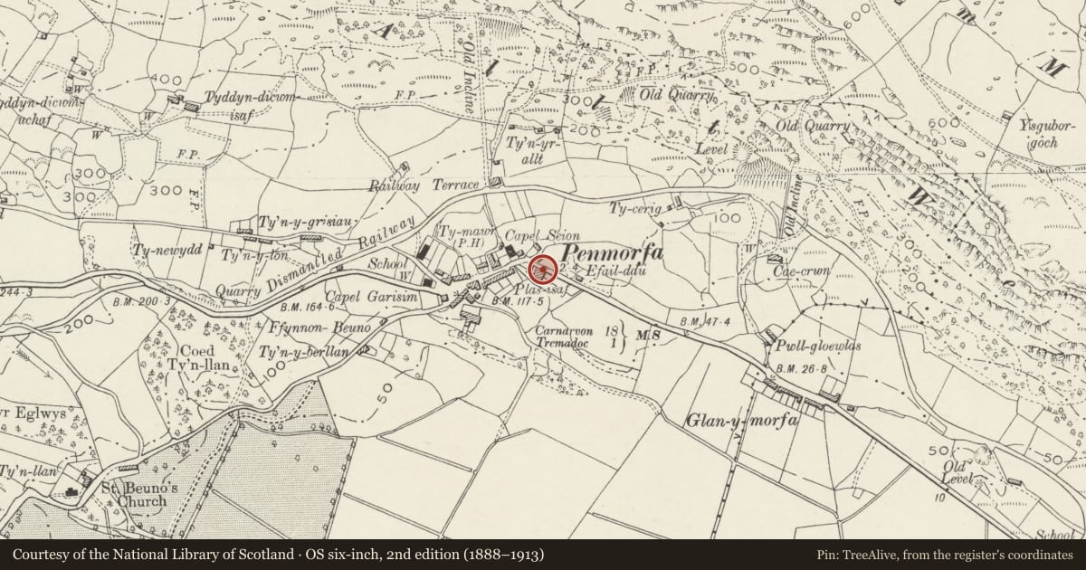
Slide toward Today to fade the historical sheet and see the modern map underneath.
David Rumsey Map Collection, Stanford LibrariesDavid Rumsey Map Collection, Stanford LibrariesDavid Rumsey Map Collection, Stanford LibrariesLlyfrgell Genedlaethol Cymru – The National Library of WalesDavid Rumsey Map Collection, Stanford Libraries
5 historical maps cover this location, the earliest the 1795 map "To Sir Watkin Williams-Wynn Bart ... the map of the six counties of North Wales is most humbly inscribed by his obedient humble servant" (Llyfrgell Genedlaethol Cymru – The National Library of Wales).
Historical maps covering this location
- 1795 · To Sir Watkin Williams-Wynn Bart ... the map of the six counties of North Wales is most… (Llyfrgell Genedlaethol Cymru – The National Library of Wales)
- 1883 · Watershed map England, Wales 3. (David Rumsey Map Collection, Stanford Libraries)
- 1896 · Sheet 7. Ordnance Survey of England and Wales. (David Rumsey Map Collection, Stanford Libraries)
- 1899 · 119 Snowdon (Hills) (David Rumsey Map Collection, Stanford Libraries)
- 1901 · Sheet 9 and 10. (David Rumsey Map Collection, Stanford Libraries)
Cadw's description
Location
The house is the more northerly of a pair of two at the centre of the village, set at right angles to the main Portmadoc to Cricieth road.
History
One dwelling of a short terrace of houses built in the early-mid C19.
Exterior
Coursed squared rubble stonework with a hipped slate roof. Two storeys, the main elevation faces E, of 3 bays with a central panelled door and flanking margin-glazed windows, all set under an open timber lean-to verandah with a slated roof and modillion eaves. 9-paned single sash windows to the first floor, the central window blind. A stone stack occurs on the party wall with No 2 with a further stack with weather courses in the hipped roof at the N end. Contemporary lean-to at the rear with 16-paned sashes, probably containing service rooms. Further to the rear, a single storey washhouse set at right angles with a side door and 6-paned sash window.
Reason for designation
Included as a well-preserved large terrace house of Regency character at the core of the village.
Nearby in the register
- Mynediad Cae ChwaraeRecreationalunder 1 mi
- Bwlch-y-fedwenDomesticunder 1 mi
- Hut Circles near Craig y GesailUnenclosed hut circleunder 1 mi
- Hut Group West of Cwm MawrHut Circle Settlementunder 1 mi
Other entries of the same register within about three miles of this one, by straight line.