Cof Cymru: National Historic Assets of Wales · Wales
Broncwrt
Llanfair-ar-y-Bryn, Carmarthenshire, Wales
A Grade II listed building in Nant-y-bai, Llandovery, Llanfair-ar-y-Bryn, Carmarthenshire, designated on 25 February 1999.
The record
- Designation
- Listed building, Grade II
- Broad class
- Domestic
- Date of designation
- 25 February 1999
- Locality
- Nant-y-bai
- Town
- Llandovery
- Community
- Llanfair-ar-y-Bryn
- Unitary authority
- Carmarthenshire
- Country
- Wales
- Coordinates
- 52.08858, -3.79911
- Cadw reference
- 21403
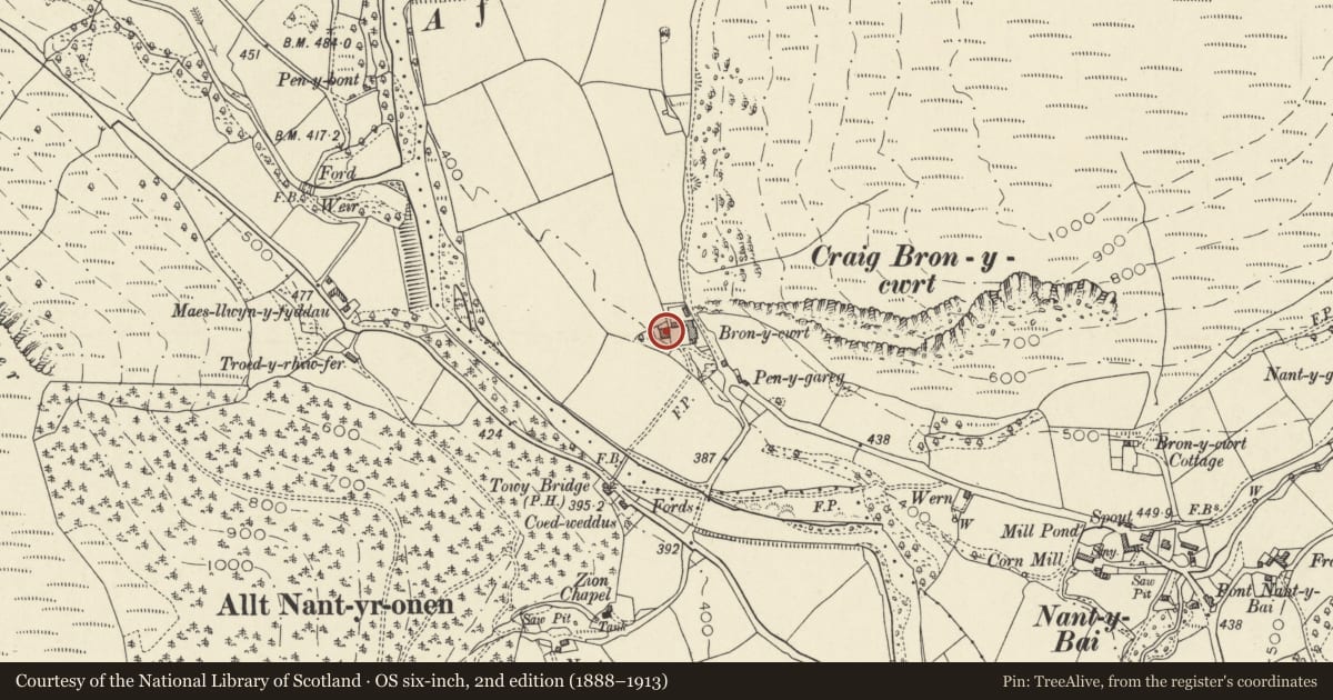
Slide toward Today to fade the historical sheet and see the modern map underneath.
David Rumsey Map Collection, Stanford LibrariesDavid Rumsey Map Collection, Stanford LibrariesDavid Rumsey Map Collection, Stanford LibrariesDavid Rumsey Map Collection, Stanford LibrariesDavid Rumsey Map Collection, Stanford Libraries
5 historical maps cover this location, the earliest the 1608 map "(13) Cambriae Typus." (David Rumsey Map Collection, Stanford Libraries).
Historical maps covering this location
- 1608 · (13) Cambriae Typus. (David Rumsey Map Collection, Stanford Libraries)
- 1637 · Particular description of Wales. Cambria seu Wallia (David Rumsey Map Collection, Stanford Libraries)
- 1830 · V.3:11-15:XV. Britisches Reich. A. Kon: England. b. Frstenthum Wales: Shire: 37-40 (David Rumsey Map Collection, Stanford Libraries)
- 1899 · 195 Lampeter (Hills) (David Rumsey Map Collection, Stanford Libraries)
- 1901 · Sheet 14. (David Rumsey Map Collection, Stanford Libraries)
Cadw's description
Location
Situated some 600m NW of Nant-y-Bai, to the left of the road leading to Llyn Brianne. Stone walled farmyard to right of house, with L-shaped farm ranges.
History
Mid C19 farmhouse, rebuilt after 1841 as it is marked on a different site on the Tithe map, when it was owned by Lord Cawdor, occupied by Thomas James. The house bears some resemblance in overhanging gable verges and small-paned windows to other Cawdor estate farms, for example Dugoedydd.
Exterior
Farmhouse, rubble stone with slate roof and stone end stacks, including to rear wing. Roof overhangs at gables with verge brackets. Two-storey, three-window range of 12-panehhorned sashes with stone voussoirs to heads and painted slate sills. Half-glazed centre door with 5-pane overlight in slated porch with roughcast piers. E end wall has window each floor and NE rear wing has window each floor and door to left, all windows 12-pane.
Interior
Not accessible on resurvey.
Reason for designation
Listed as a good example of a mid-C19 estate farmhouse with windows still in the late Georgian style, and retaining original external detail including small paned sashes.
Nearby in the register
- Rhandirmwyn Bridge (partly in Cilycwm community)Transportunder 1 mi
- Rhandirmwyn Bridge (partly in Llanfair-ar-y-Bryn community)Transportunder 1 mi
- Nant y Bai MillIndustrialunder 1 mi
- Gelli Burial ChamberChambered round cairnunder 1 mi
Other entries of the same register within about three miles of this one, by straight line.