Cof Cymru: National Historic Assets of Wales · Wales
Remains of Churchyard Cross
Bedwas, Trethomas and Machen, Caerphilly, Wales
A Grade II listed building in Bedwas, Caerphilly, Bedwas, Trethomas and Machen, designated on 23 November 1961.
The record
- Designation
- Listed building, Grade II
- Broad class
- Religious, Ritual and Funerary
- Date of designation
- 23 November 1961
- Locality
- Bedwas
- Town
- Caerphilly
- Community
- Bedwas, Trethomas and Machen
- Unitary authority
- Caerphilly
- Country
- Wales
- Coordinates
- 51.59543, -3.19804
- Cadw reference
- 21304
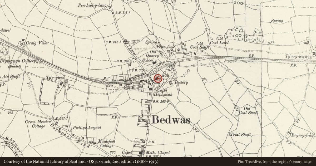
Slide toward Today to fade the historical sheet and see the modern map underneath.
David Rumsey Map Collection, Stanford LibrariesDavid Rumsey Map Collection, Stanford LibrariesDavid Rumsey Map Collection, Stanford LibrariesDavid Rumsey Map Collection, Stanford LibrariesDavid Rumsey Map Collection, Stanford Libraries
5 historical maps cover this location, the earliest the 1636 map "Cornubia : Devonia, Somersetus, Dorcestria, Wiltonia, Glocestria ..." (David Rumsey Map Collection, Stanford Libraries).
Historical maps covering this location
- 1636 · Cornubia : Devonia, Somersetus, Dorcestria, Wiltonia, Glocestria ... (David Rumsey Map Collection, Stanford Libraries)
- 1865 · England and Wales. England No. 6. (David Rumsey Map Collection, Stanford Libraries)
- 1895 · Sheet 11. Ordnance Survey of England and Wales. (David Rumsey Map Collection, Stanford Libraries)
- 1906 · 249 Newport (Hills) (David Rumsey Map Collection, Stanford Libraries)
- 1913 · Sheet 102. Newport. (David Rumsey Map Collection, Stanford Libraries)
Cadw's description
Location
Located on the S side of the Church of St Barrwg, to the E of the porch.
History
Remains of medieval churchyard cross, the ball flower ornament suggesting an early C14 date.
Exterior
Stump of cross shaft with eroded broach stops, approximately 0.4m high, on a small octagonal 2-tier base. The tiers are moulded and corbelled. The underside of the top tier bears a ball-flower frieze, much eroded.
Reason for designation
Listed as a good example of the base of a medieval preaching cross, the form of the plinth being unusual. Group value with the Church of St. Barrwg.
Scheduled Ancient Monument Mon143.
Nearby in the register
- Bedwas Churchyard CrossCrossunder 1 mi
- Church of St BarrwgReligious, Ritual and Funeraryunder 1 mi
- Railed monument of Price family in churchyard at SE corner of St Barrwg's ChurchReligious, Ritual and Funeraryunder 1 mi
- The Old RectoryDomesticunder 1 mi
Other entries of the same register within about three miles of this one, by straight line.