Cof Cymru: National Historic Assets of Wales · Wales
Obelisk monument S of St Tetta's church
Talybont-on-Usk, Powys, Wales
A Grade II listed building in Llanddetti, Talybont-on-Usk, Powys, designated on 17 December 1998.
The record
- Designation
- Listed building, Grade II
- Broad class
- Commemorative
- Date of designation
- 17 December 1998
- Locality
- Llanddetti
- Community
- Talybont-on-Usk
- Unitary authority
- Powys
- Country
- Wales
- Coordinates
- 51.87376, -3.26790
- Cadw reference
- 21203
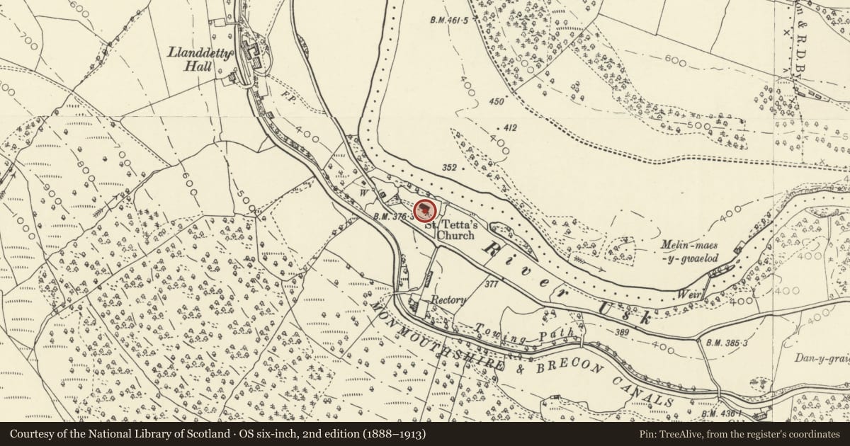
Slide toward Today to fade the historical sheet and see the modern map underneath.
David Rumsey Map Collection, Stanford LibrariesDavid Rumsey Map Collection, Stanford LibrariesDavid Rumsey Map Collection, Stanford LibrariesDavid Rumsey Map Collection, Stanford LibrariesDavid Rumsey Map Collection, Stanford Libraries
5 historical maps cover this location, the earliest the 1636 map "Cornubia : Devonia, Somersetus, Dorcestria, Wiltonia, Glocestria ..." (David Rumsey Map Collection, Stanford Libraries).
Historical maps covering this location
- 1636 · Cornubia : Devonia, Somersetus, Dorcestria, Wiltonia, Glocestria ... (David Rumsey Map Collection, Stanford Libraries)
- 1856 · 42. Brecon. (David Rumsey Map Collection, Stanford Libraries)
- 1895 · Sheet 11. Ordnance Survey of England and Wales. (David Rumsey Map Collection, Stanford Libraries)
- 1898 · 232 Abergavenny (Hills) (David Rumsey Map Collection, Stanford Libraries)
- 1901 · Sheet 14. (David Rumsey Map Collection, Stanford Libraries)
Cadw's description
Location
In the churchyard close to the priest's door in the S chancel.
History
Those commemorated are: William son of William and Eleanor Thomas late of Pantywenallt b 1835 d 1838, also daughter Margaret b 1842 d 1844, also William and Eleanor.
Exterior
A tall monument of ashlar comprising a tiered base on which stands a slighly tapered plinth, each side with an inscription panel - primary inscription to S, another to E; surmounted by a shallow pediment incorporating a carved motif. This supports the base of an obelisk, slighly broached at base and tapering to a point.
Reason for designation
Included as an earlier C19 monument, more elaborate than usual for a country churchyard, and for group value with the Church of St Tetta and other listed monuments in the churchyard.
Nearby in the register
- Church of St TettaReligious, Ritual and Funeraryunder 1 mi
- Group of 3 chest tombs E of St Tetta's churchCommemorativeunder 1 mi
- Group of 5 chest tombs S of St Tetta's churchCommemorativeunder 1 mi
- Dan-y-graig Bridge (Canal Bridge No.137)Transportunder 1 mi
Other entries of the same register within about three miles of this one, by straight line.