Cof Cymru: National Historic Assets of Wales · Wales
Barn at Blaenant
Talybont-on-Usk, Powys, Wales
A Grade II listed building in Llanfeugan, Talybont-on-Usk, Powys, designated on 17 December 1998.
The record
- Designation
- Listed building, Grade II
- Broad class
- Agriculture and Subsistence
- Date of designation
- 17 December 1998
- Locality
- Llanfeugan
- Community
- Talybont-on-Usk
- Unitary authority
- Powys
- Country
- Wales
- Coordinates
- 51.90814, -3.33952
- Cadw reference
- 21170
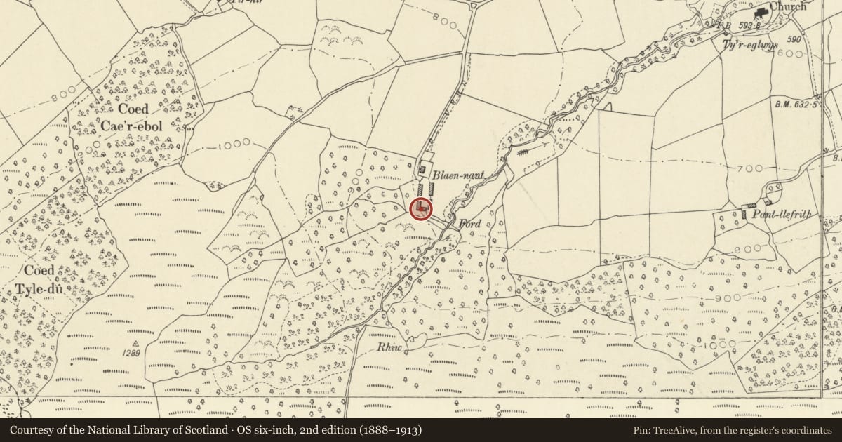
Slide toward Today to fade the historical sheet and see the modern map underneath.
David Rumsey Map Collection, Stanford LibrariesDavid Rumsey Map Collection, Stanford LibrariesNational Library of ScotlandDavid Rumsey Map Collection, Stanford LibrariesDavid Rumsey Map Collection, Stanford Libraries
5 historical maps cover this location, the earliest the 1608 map "(13) Cambriae Typus." (David Rumsey Map Collection, Stanford Libraries).
Historical maps covering this location
- 1608 · (13) Cambriae Typus. (David Rumsey Map Collection, Stanford Libraries)
- 1636 · Cornubia : Devonia, Somersetus, Dorcestria, Wiltonia, Glocestria ... (David Rumsey Map Collection, Stanford Libraries)
- 1853 · Sheet XLII SW Becon - Ordnance Survey of England and Wales, One-inch to the mile, Old… (National Library of Scotland)
- 1856 · 42. Brecon. (David Rumsey Map Collection, Stanford Libraries)
- 1901 · Sheet 14. (David Rumsey Map Collection, Stanford Libraries)
Cadw's description
Location
Forming the S side of the farmyard at Blaenant and adjoining the byre. Blaenant lies to SW of Pencelli.
History
Tithe map of 1841 shows a range of farm buildings along the W side of the farmyard more or less parallel with the house and in the place of the current byre, with the end building not extending so far out as the present barn; this suggests the barn may also have been remodelled as part of the c 1893 developments at Blaenant carried out by David Morgan.
Exterior
Barn of 6 bays attached to right to cowbyre. Of stone rubble with Welsh slate roof which extends to form a porch hood supported by timber brackets; opposing double plank doors. Unusually long ventilation slits to sides; doorway made in gable end facing farmyard, 2 ventilation slits above and one in apex; pitching door in gable end right.
Interior
Built into the slope, the barn has an unusual sloping floor, falling away to left. The ventilation slits have wooden lintels; piers to double doors. Roof of pegged collar and tie beam trusses with 3 rows of staggered trenched purlins.
Reason for designation
Included for group value with Blaenant farmhouse and other listed farmyard buildings.
Nearby in the register
- Cartshed at BlaenantAgriculture and Subsistenceunder 1 mi
- Byre at BlaenantAgriculture and Subsistenceunder 1 mi
- Sheepshed at BlaenantAgriculture and Subsistenceunder 1 mi
- Blaenant farmhouseDomesticunder 1 mi
Other entries of the same register within about three miles of this one, by straight line.