Cof Cymru: National Historic Assets of Wales · Wales
Courtyard range immediately SW of Castle Farmhouse
Talybont-on-Usk, Powys, Wales
A Grade II listed building in Pencelli, Talybont-on-Usk, Powys, designated on 17 December 1998.
The record
- Designation
- Listed building, Grade II
- Broad class
- Defence
- Date of designation
- 17 December 1998
- Locality
- Pencelli
- Community
- Talybont-on-Usk
- Unitary authority
- Powys
- Country
- Wales
- Coordinates
- 51.91540, -3.31787
- Cadw reference
- 21137
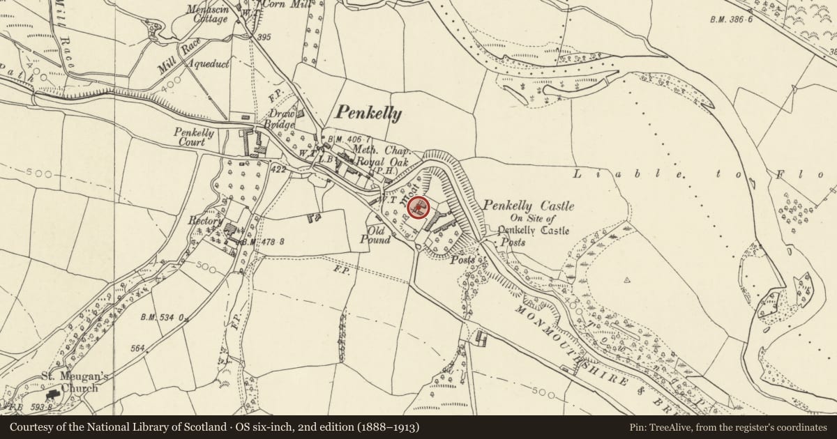
Slide toward Today to fade the historical sheet and see the modern map underneath.
David Rumsey Map Collection, Stanford LibrariesDavid Rumsey Map Collection, Stanford LibrariesDavid Rumsey Map Collection, Stanford LibrariesDavid Rumsey Map Collection, Stanford LibrariesDavid Rumsey Map Collection, Stanford Libraries
5 historical maps cover this location, the earliest the 1608 map "(13) Cambriae Typus." (David Rumsey Map Collection, Stanford Libraries).
Historical maps covering this location
- 1608 · (13) Cambriae Typus. (David Rumsey Map Collection, Stanford Libraries)
- 1636 · Cornubia : Devonia, Somersetus, Dorcestria, Wiltonia, Glocestria ... (David Rumsey Map Collection, Stanford Libraries)
- 1856 · 42. Brecon. (David Rumsey Map Collection, Stanford Libraries)
- 1896 · 214 Talgarth (Hills) (David Rumsey Map Collection, Stanford Libraries)
- 1901 · Sheet 14. (David Rumsey Map Collection, Stanford Libraries)
Cadw's description
Location
Extending from the corner of the farmhouse, this range forms the NW side of the farm courtyard.
History
Part of the complex of buildings within the medieval castle enclosure. Pencelli castle is documented from 1215. House is dated 1583 and was remodelled in C18 to create a Georgian frontage and was further refurbished early C20.
Exterior
The rear rubble wall of the single storey farm range, now converted for use as toilets for the campsite, continues the line of the rear wall of Castle Farmhouse and acts partly as a retaining wall for part of the NW castle earthwork. This building together with the Granary at right angles, and the side wall of the house, form a side courtyard to the house, with the barn range opposite forming a front courtyard.
Reason for designation
Included as possibly containing medieval masonry relating to the medieval castle enclosure and for group value with other buildings at Castle Farm.
Nearby in the register
- Granary at Castle FarmAgriculture and Subsistenceunder 1 mi
- Castle Farm farmhouseDomesticunder 1 mi
- Barn range at Castle FarmAgriculture and Subsistenceunder 1 mi
- Castle Bridge (Canal Bridge No. 152)Transportunder 1 mi
Other entries of the same register within about three miles of this one, by straight line.