Cof Cymru: National Historic Assets of Wales · Wales
Y Bwthyn
Beddgelert, Gwynedd, Wales
A Grade II listed building in Nantmor, Porthmadog, Beddgelert, Gwynedd, designated on 25 November 1998.
The record
- Designation
- Listed building, Grade II
- Broad class
- Domestic
- Date of designation
- 25 November 1998
- Locality
- Nantmor
- Town
- Porthmadog
- Community
- Beddgelert
- Unitary authority
- Gwynedd
- Country
- Wales
- Coordinates
- 52.99379, -4.08547
- Cadw reference
- 20956
Slide toward Today to fade the historical sheet and see the modern map underneath.
David Rumsey Map Collection, Stanford LibrariesDavid Rumsey Map Collection, Stanford LibrariesDavid Rumsey Map Collection, Stanford LibrariesLlyfrgell Genedlaethol Cymru – The National Library of WalesDavid Rumsey Map Collection, Stanford Libraries
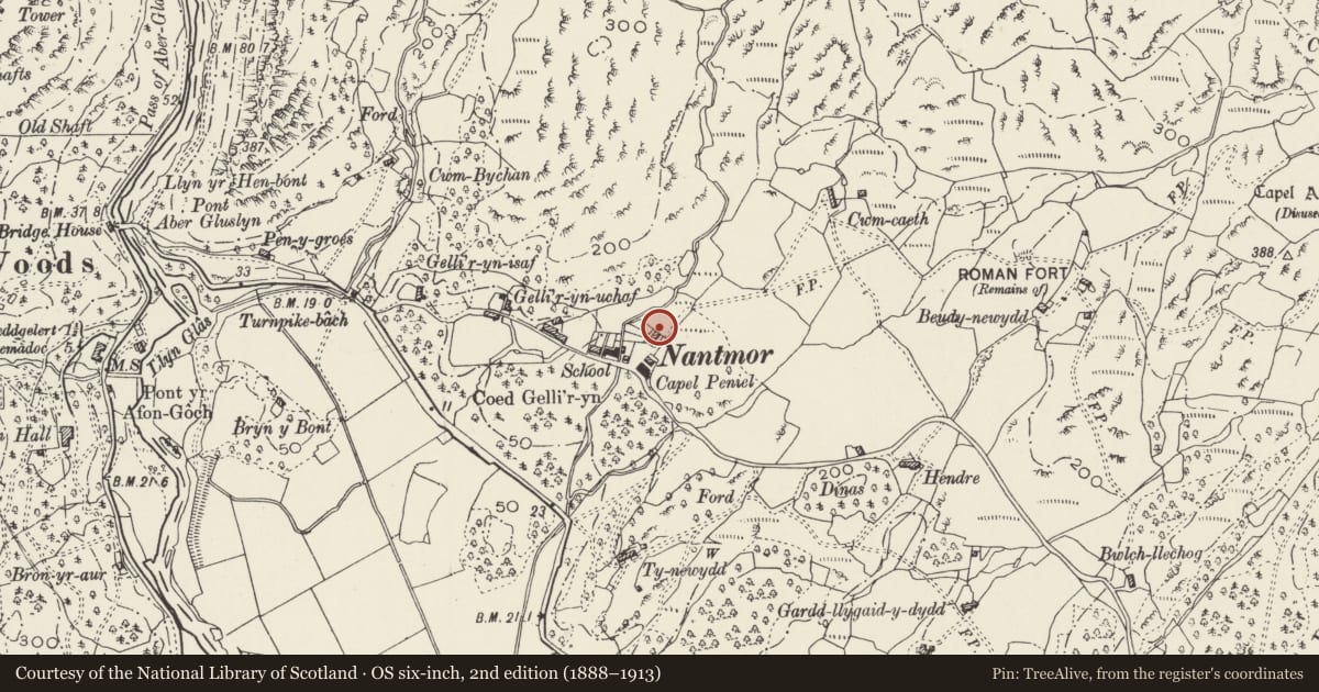
5 historical maps cover this location, the earliest the 1795 map "To Sir Watkin Williams-Wynn Bart ... the map of the six counties of North Wales is most humbly inscribed by his obedient humble servant" (Llyfrgell Genedlaethol Cymru – The National Library of Wales).
Historical maps covering this location
- 1795 · To Sir Watkin Williams-Wynn Bart ... the map of the six counties of North Wales is most… (Llyfrgell Genedlaethol Cymru – The National Library of Wales)
- 1883 · Watershed map England, Wales 3. (David Rumsey Map Collection, Stanford Libraries)
- 1896 · Sheet 7. Ordnance Survey of England and Wales. (David Rumsey Map Collection, Stanford Libraries)
- 1899 · 119 Snowdon (Hills) (David Rumsey Map Collection, Stanford Libraries)
- 1901 · Sheet 9 and 10. (David Rumsey Map Collection, Stanford Libraries)
Cadw's description
Location
Located approximately 50m NW of Peniel Chapel.
History
Mid C19 terrace of 3 two-storey cottages set back behind low rubble forecourt walls; of rubble construction under a continuous slate roof with plain end chimneys and a brick central chimney.
Reason for designation
Listed as a well-preserved mid C19 terrace retaining good external character and forming part of an intact village group.
Nearby in the register
- 2 Peniel TerraceDomesticunder 1 mi
- TegfrynDomesticunder 1 mi
- Bron-y-GraigDomesticunder 1 mi
- Ty CapelDomesticunder 1 mi
Other entries of the same register within about three miles of this one, by straight line.