Cof Cymru: National Historic Assets of Wales · Wales
Pont-y-Trap
Dyffryn Cennen, Carmarthenshire, Wales
A Grade II listed building in Trapp, Llandeilo, Dyffryn Cennen, Carmarthenshire, designated on 24 November 1998.
The record
- Designation
- Listed building, Grade II
- Broad class
- Transport
- Date of designation
- 24 November 1998
- Locality
- Trapp
- Town
- Llandeilo
- Community
- Dyffryn Cennen
- Unitary authority
- Carmarthenshire
- Country
- Wales
- Coordinates
- 51.85313, -3.95736
- Cadw reference
- 20918
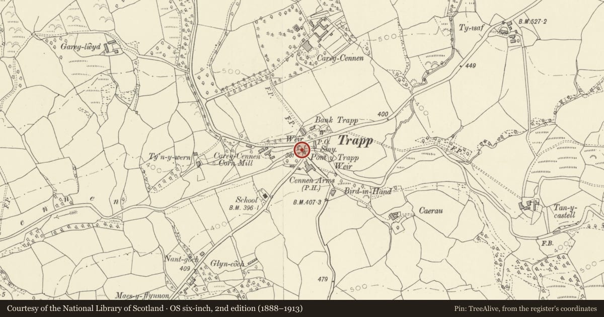
Slide toward Today to fade the historical sheet and see the modern map underneath.
David Rumsey Map Collection, Stanford LibrariesDavid Rumsey Map Collection, Stanford LibrariesDavid Rumsey Map Collection, Stanford LibrariesDavid Rumsey Map Collection, Stanford LibrariesDavid Rumsey Map Collection, Stanford Libraries
5 historical maps cover this location, the earliest the 1860 map "41. Caermathen." (David Rumsey Map Collection, Stanford Libraries).
Historical maps covering this location
- 1860 · 41. Caermathen. (David Rumsey Map Collection, Stanford Libraries)
- 1891 · Sheet 10. Ordnance Survey of England and Wales. . (David Rumsey Map Collection, Stanford Libraries)
- 1898 · 230 Ammanford (Hills) (David Rumsey Map Collection, Stanford Libraries)
- 1898 · 230 Ammanford (Outline) (David Rumsey Map Collection, Stanford Libraries)
- 1901 · Sheet 14. (David Rumsey Map Collection, Stanford Libraries)
Cadw's description
Location
Situated in the centre of Trap village, across Afon Cennen.
History
Single arch road bridge over the Cennen, probably early C19, marked on 1841 Tithe Map.
Exterior
Road bridge, rubble stone single arch with stone voussoirs recessed under arch-ring. Limestone coping to rubble parapets which have curved splays each end.
Reason for designation
Included as a simple masonry bridge prominently located in the centre of Trap village.
Nearby in the register
- Telephone call-box (01558 823304)Communicationsunder 1 mi
- The Post OfficeDomesticunder 1 mi
- Carreg Cennen HouseDomesticunder 1 mi
- Walled garden and attached outbuildings at Carreg Cennen House.Domesticunder 1 mi
Other entries of the same register within about three miles of this one, by straight line.