Cof Cymru: National Historic Assets of Wales · Wales
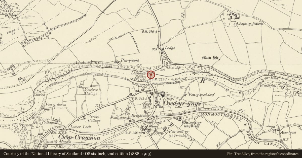
Llangynidr Bridge (partly in Llangynidr community)
Llanfihangel Cwmdu with Bwlch and Cathedine, Powys, Wales
A Grade I listed building in Llanfihangel Cwmdu with Bwlch and Cathedine, Powys, designated on 21 October 1998.
The record
- Designation
- Listed building, Grade I
- Broad class
- Transport
- Date of designation
- 21 October 1998
- Community
- Llanfihangel Cwmdu with Bwlch and Cathedine
- Unitary authority
- Powys
- Country
- Wales
- Coordinates
- 51.87485, -3.23298
- Cadw reference
- 20677
Slide toward Today to fade the historical sheet and see the modern map underneath.
David Rumsey Map Collection, Stanford LibrariesDavid Rumsey Map Collection, Stanford LibrariesDavid Rumsey Map Collection, Stanford LibrariesDavid Rumsey Map Collection, Stanford LibrariesDavid Rumsey Map Collection, Stanford Libraries
5 historical maps cover this location, the earliest the 1636 map "Cornubia : Devonia, Somersetus, Dorcestria, Wiltonia, Glocestria ..." (David Rumsey Map Collection, Stanford Libraries).
Historical maps covering this location
- 1636 · Cornubia : Devonia, Somersetus, Dorcestria, Wiltonia, Glocestria ... (David Rumsey Map Collection, Stanford Libraries)
- 1856 · 42. Brecon. (David Rumsey Map Collection, Stanford Libraries)
- 1895 · Sheet 11. Ordnance Survey of England and Wales. (David Rumsey Map Collection, Stanford Libraries)
- 1898 · 232 Abergavenny (Hills) (David Rumsey Map Collection, Stanford Libraries)
- 1901 · Sheet 14. (David Rumsey Map Collection, Stanford Libraries)
Cadw's description
Location
Spanning the River Usk on the B4560.
Nearby in the register
- Llangynidr Bridge (partly in Llanfihangel Cwmdu with Bwlch and Cathedine community)Transportunder 1 mi
- Mowfield CottageDomesticunder 1 mi
- Green Drive LodgeDomesticunder 1 mi
- Bank of Limekilns beside Monmouthshire and Brecon Canal east of Bridge No 131No class recordedunder 1 mi
Other entries of the same register within about three miles of this one, by straight line.