Cof Cymru: National Historic Assets of Wales · Wales
Two chest tombs on S side of the Church of St Cynwyd
Llangynwyd Middle, Bridgend, Wales
A Grade II listed building in Llangynwyd, Llangynwyd Middle, Bridgend, designated on 8 September 1998.
The record
- Designation
- Listed building, Grade II
- Broad class
- Religious, Ritual and Funerary
- Date of designation
- 8 September 1998
- Locality
- Llangynwyd
- Town
- Llangynwyd Middle
- Community
- Llangynwyd Middle
- Unitary authority
- Bridgend
- Country
- Wales
- Coordinates
- 51.58665, -3.65071
- Cadw reference
- 20430
Slide toward Today to fade the historical sheet and see the modern map underneath.
David Rumsey Map Collection, Stanford LibrariesDavid Rumsey Map Collection, Stanford LibrariesDavid Rumsey Map Collection, Stanford LibrariesDavid Rumsey Map Collection, Stanford LibrariesNational Library of Scotland
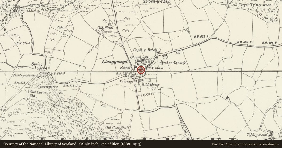
5 historical maps cover this location, the earliest the 1636 map "Cornubia : Devonia, Somersetus, Dorcestria, Wiltonia, Glocestria ..." (David Rumsey Map Collection, Stanford Libraries).
Historical maps covering this location
- 1636 · Cornubia : Devonia, Somersetus, Dorcestria, Wiltonia, Glocestria ... (David Rumsey Map Collection, Stanford Libraries)
- 1637 · The fourth table of England. Cornub. Devonia, Somerset etc. (David Rumsey Map Collection, Stanford Libraries)
- 1865 · England and Wales. England No. 6. (David Rumsey Map Collection, Stanford Libraries)
- 1907 · 248 Pontypridd (Hills) (David Rumsey Map Collection, Stanford Libraries)
- 1930 · OS Popular Edition 1919-1947 (National Library of Scotland)
Cadw's description
Location
The two tombs are set E of the porch and approximately 3m from the nave wall.
History
One chest tomb and one railed enclosure with a chest tomb and ledger slab, erected in the early C19.
Exterior
Stone built chest tombs set approximately end to end, from the W, (a) A fine sandstone chest with raised corner blocks, the inset side panels inscribed, and the end stones having oval panels. Chamfered top ledger slab. To Rachel Powell of Gilfach, d.1839, aged 1 year; others added. (b) Limestone chest with panelled end pilasters, raised side panels with inward radiused corners and flowers, moulded ledger and base, to Elizabeth Jenkin of Gelly, d.1809 and husband d. 1832. The chest is enclosed within cast iron railings with fleur-headed terminals set on a stone plinth, and with another simpler narrow grave slab carrying the date 1701.
Reason for designation
Included as handsome early C19 churchyard monuments, of group value with the church of St Cynwyd.
Nearby in the register
- Church of St CynwydReligious, Ritual and Funeraryunder 1 mi
- Group of five tombs S of the tower of the Church of St CynwydReligious, Ritual and Funeraryunder 1 mi
- Group of 4 Hopkin and Jenkins tombs within iron railings on the W side of the path to the S porchReligious, Ritual and Funeraryunder 1 mi
- Jenkins Monument in the churchyard, Church of St CynwydReligious, Ritual and Funeraryunder 1 mi
Other entries of the same register within about three miles of this one, by straight line.