Cof Cymru: National Historic Assets of Wales · Wales
Byre at Upper Penllanafal
Llangors, Powys, Wales
A Grade II listed building in Penllanafal, Llangors, Powys, designated on 21 August 1998.
The record
- Designation
- Listed building, Grade II
- Broad class
- Agriculture and Subsistence
- Date of designation
- 21 August 1998
- Locality
- Penllanafal
- Community
- Llangors
- Unitary authority
- Powys
- Country
- Wales
- Coordinates
- 51.95804, -3.22956
- Cadw reference
- 20333
Slide toward Today to fade the historical sheet and see the modern map underneath.
David Rumsey Map Collection, Stanford LibrariesDavid Rumsey Map Collection, Stanford LibrariesDavid Rumsey Map Collection, Stanford LibrariesDavid Rumsey Map Collection, Stanford LibrariesDavid Rumsey Map Collection, Stanford Libraries
5 historical maps cover this location, the earliest the 1608 map "(13) Cambriae Typus." (David Rumsey Map Collection, Stanford Libraries).
Historical maps covering this location
- 1608 · (13) Cambriae Typus. (David Rumsey Map Collection, Stanford Libraries)
- 1636 · Cornubia : Devonia, Somersetus, Dorcestria, Wiltonia, Glocestria ... (David Rumsey Map Collection, Stanford Libraries)
- 1856 · 42. Brecon. (David Rumsey Map Collection, Stanford Libraries)
- 1896 · 214 Talgarth (Hills) (David Rumsey Map Collection, Stanford Libraries)
- 1901 · Sheet 14. (David Rumsey Map Collection, Stanford Libraries)
Cadw's description
Location
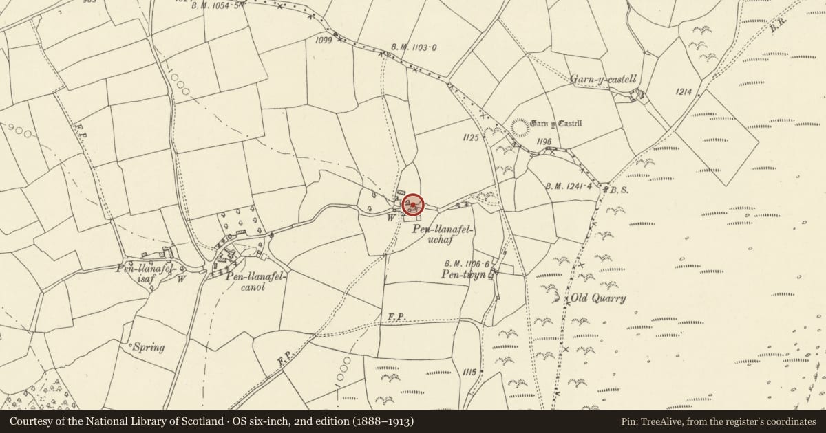
Stands NE of Llangors on high ground on S side of the lane leading towards the mountains, adjacent to the farmhouse and near NE community boundary.
History
Probably C17 and so maybe contemporary with the farmhouse for which Jones and Smith gave a C16-C17 date.
Exterior
Probably built as a combined byre and granary. Of limewashed rubble with corrugated roof, W gable also corrugated, a probable replacement for timber weatherboarding; boulder footings and battered. Ground floor of W gable end has 3 doorways, the centre a segmental arch and at sides 2 square heads with hoodmoulds, boarded doors; above a line of weathercoursing possibly for a former pentice. Roadside elevation has one ventilation slit, gabled loft opening with stone band beneath; stable door end left. Gable end facing mountain has a pitching door to loft.
Interior
Interior retains chamfered spine beams, byre stalls at upper end.
Reason for designation
Listed together with the Barn at Upper Penllanafal as a fine pair of early farm buildings.
Nearby in the register
- Barn at Upper PenllanafalAgriculture and Subsistenceunder 1 mi
- Boundary Marker StoneCivilunder 1 mi
- Field barn near Cockit HillAgriculture and Subsistenceunder 1 mi
- Whole House Farmhouse including attached Farm BuildingDomesticunder 1 mi
Other entries of the same register within about three miles of this one, by straight line.