Cof Cymru: National Historic Assets of Wales · Wales
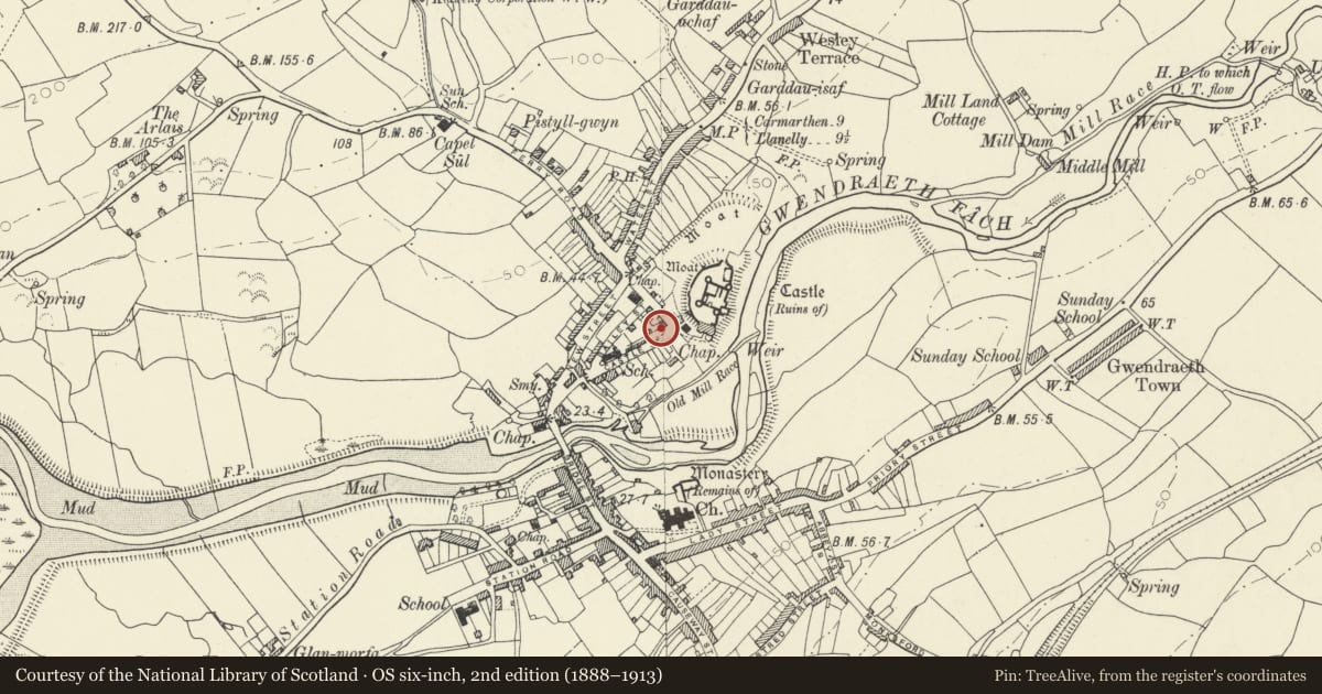
The Old Moat House
Kidwelly, Carmarthenshire, Wales
A Grade II listed building in Kidwelly/Cydweli, Kidwelly, Carmarthenshire, designated on 28 July 1998.
The record
- Designation
- Listed building, Grade II
- Broad class
- Domestic
- Date of designation
- 28 July 1998
- Locality
- Kidwelly/Cydweli
- Town
- Kidwelly
- Community
- Kidwelly
- Unitary authority
- Carmarthenshire
- Country
- Wales
- Coordinates
- 51.73907, -4.30671
- Cadw reference
- 20187
Slide toward Today to fade the historical sheet and see the modern map underneath.
David Rumsey Map Collection, Stanford LibrariesDavid Rumsey Map Collection, Stanford LibrariesDavid Rumsey Map Collection, Stanford LibrariesDavid Rumsey Map Collection, Stanford LibrariesDavid Rumsey Map Collection, Stanford Libraries
5 historical maps cover this location, the earliest the 1636 map "Cornubia : Devonia, Somersetus, Dorcestria, Wiltonia, Glocestria ..." (David Rumsey Map Collection, Stanford Libraries).
Historical maps covering this location
- 1636 · Cornubia : Devonia, Somersetus, Dorcestria, Wiltonia, Glocestria ... (David Rumsey Map Collection, Stanford Libraries)
- 1637 · The fourth table of England. Cornub. Devonia, Somerset etc. (David Rumsey Map Collection, Stanford Libraries)
- 1891 · Sheet 10. Ordnance Survey of England and Wales. . (David Rumsey Map Collection, Stanford Libraries)
- 1898 · 229 Carmarthen (Hills) (David Rumsey Map Collection, Stanford Libraries)
- 1920 · Sheet 100. Llanelly. (David Rumsey Map Collection, Stanford Libraries)
Cadw's description
Location
Situated close to entrance to Kidwelly Castle, at corner of Castle Street and Castle Road.
History
House, now restaurant, probably later C18, on older site within medieval walled town. Single-storey house with loft, of larger than usual size.
Exterior
Whitewashed rubble stone with slate roof, and end stacks. Rendered small stack to right, stone larger stack to left. Single-storey, double-fronted with two 9-pane windows and centre 4-panel door. Small right end 4-pane loft light. Large C20 rear wing.
Reason for designation
Listed as one of the oldest surviving houses within the medieval walled settlement.
Nearby in the register
- Kidwelly Medieval Town (Part of)Townunder 1 mi
- 6 Castle StreetDomesticunder 1 mi
- Castle School and School houseEducationunder 1 mi
- Kidwelly Town Gate & DefencesGatehouseunder 1 mi
Other entries of the same register within about three miles of this one, by straight line.