Cof Cymru: National Historic Assets of Wales · Wales
Tai Bwlch
Aberdaron, Gwynedd, Wales
A Grade II listed building in Anelog, Pwllheli, Aberdaron, Gwynedd, designated on 25 June 1998.
The record
- Designation
- Listed building, Grade II
- Broad class
- Domestic
- Date of designation
- 25 June 1998
- Locality
- Anelog
- Town
- Pwllheli
- Community
- Aberdaron
- Unitary authority
- Gwynedd
- Country
- Wales
- Coordinates
- 52.80921, -4.73959
- Cadw reference
- 20003
Slide toward Today to fade the historical sheet and see the modern map underneath.
David Rumsey Map Collection, Stanford LibrariesDavid Rumsey Map Collection, Stanford LibrariesDavid Rumsey Map Collection, Stanford LibrariesDavid Rumsey Map Collection, Stanford LibrariesDavid Rumsey Map Collection, Stanford Libraries
5 historical maps cover this location, the earliest the 1608 map "(13) Cambriae Typus." (David Rumsey Map Collection, Stanford Libraries).
Historical maps covering this location
- 1608 · (13) Cambriae Typus. (David Rumsey Map Collection, Stanford Libraries)
- 1637 · Particular description of Wales. Cambria seu Wallia (David Rumsey Map Collection, Stanford Libraries)
- 1799 · Ireland. (David Rumsey Map Collection, Stanford Libraries)
- 1883 · Watershed map England, Wales 3. (David Rumsey Map Collection, Stanford Libraries)
- 1898 · 133 Bardsey Island (Hills) (David Rumsey Map Collection, Stanford Libraries)
Cadw's description
Location
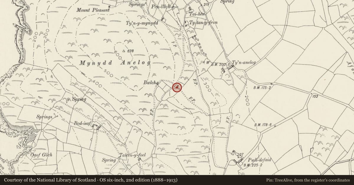
Situated on SE slope of Mynydd Anelog, approached by footpath running S from Ty Tanyfron.
History
Pair of C19 croglofft cottages, built probably as part of the encroachment onto poor common land. Probably built at about time of 1844 Tithe Map, as building shown below Bwlch fields may be these houses.
Exterior
Pair of cottages, whitewashed rubble stone with slate roof and three stone stacks with dripstones and pyramid cappings, square stacks to centre and left, narrower to stack right. Single storey, part-lofted within. Both double-fronted and offset to right, with ledged doors. Left cottage has 4-pane sash each side, right cottage has 9-pane window left and C20 metal window right. Small loft sky-lights in roof.
Reason for designation
Included as the best local example of paired croglofft cottages, and as a part of the group of cottages that form a good example of a commons-encroachment settlement at Mynydd Anelog.
Nearby in the register
- Bwlch UchafDomesticunder 1 mi
- Ty'n AnelogDomesticunder 1 mi
- Outbuildings at Ty'n AnelogDomesticunder 1 mi
- Ty'n-y-mynyddDomesticunder 1 mi
Other entries of the same register within about three miles of this one, by straight line.