Cof Cymru: National Historic Assets of Wales · Wales
Gates and Gatepiers immediately S of the Flaming Urn Monument
Llanfrothen, Gwynedd, Wales
A Grade II listed building in Plas Brondanw Estate, Llanfrothen, Gwynedd, designated on 14 May 1998.
The record
- Designation
- Listed building, Grade II
- Broad class
- Gardens, Parks and Urban Spaces
- Date of designation
- 14 May 1998
- Locality
- Plas Brondanw Estate
- Community
- Llanfrothen
- Unitary authority
- Gwynedd
- Country
- Wales
- Coordinates
- 52.95825, -4.06218
- Cadw reference
- 19796
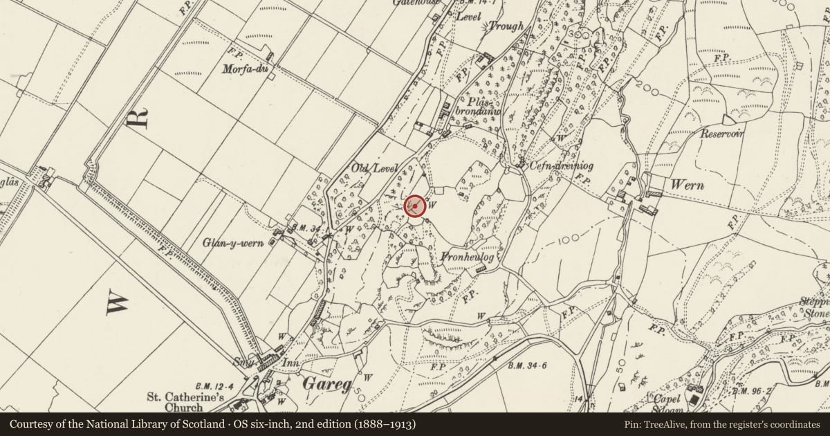
Slide toward Today to fade the historical sheet and see the modern map underneath.
David Rumsey Map Collection, Stanford LibrariesDavid Rumsey Map Collection, Stanford LibrariesDavid Rumsey Map Collection, Stanford LibrariesLlyfrgell Genedlaethol Cymru – The National Library of WalesDavid Rumsey Map Collection, Stanford Libraries
5 historical maps cover this location, the earliest the 1795 map "To Sir Watkin Williams-Wynn Bart ... the map of the six counties of North Wales is most humbly inscribed by his obedient humble servant" (Llyfrgell Genedlaethol Cymru – The National Library of Wales).
Historical maps covering this location
- 1795 · To Sir Watkin Williams-Wynn Bart ... the map of the six counties of North Wales is most… (Llyfrgell Genedlaethol Cymru – The National Library of Wales)
- 1883 · Watershed map England, Wales 3. (David Rumsey Map Collection, Stanford Libraries)
- 1896 · Sheet 7. Ordnance Survey of England and Wales. (David Rumsey Map Collection, Stanford Libraries)
- 1899 · 119 Snowdon (Hills) (David Rumsey Map Collection, Stanford Libraries)
- 1901 · Sheet 9 and 10. (David Rumsey Map Collection, Stanford Libraries)
Cadw's description
Location
Located 8m S of the Flaming Urn Monument at the end of a long wooded path running SW from Plas Brondanw; at the foot of the hill upon which Brondanw Tower is placed.
History
Gates and gatepiers built by Sir Clough Williams-Ellis, architect and owner of the Brondanw estate from 1908 until his death in 1978. Conceived as vista gates at the end of a long straight path from Plas Brondanw to the foot of the hill upon which the folly Brondanw Tower stands.
Exterior
Tall, square rubble piers with moulded rubble capping and reconstituted stone urn finials. Plain wrought iron gates with decorative overthrow surmounted by a polychromed decorative crown. Short, low flanking sections of wall curve outwards (away from the tower).
Reason for designation
Included for group value with other listed items in the vicinity of Plas Brondanw.
Nearby in the register
- Flaming Urn MonumentGardens, Parks and Urban Spacesunder 1 mi
- Arched Gate and adjoining Balustrade 200m NE of the New LodgeGardens, Parks and Urban Spacesunder 1 mi
- Gates and Gatepiers at SE corner of Plas Brondanw Gardens including Garden Wall to NE.Gardens, Parks and Urban Spacesunder 1 mi
- Raised Terrace and Steps at SW end of Plas Brondanw Gardens including ExedraGardens, Parks and Urban Spacesunder 1 mi
Other entries of the same register within about three miles of this one, by straight line.