Cof Cymru: National Historic Assets of Wales · Wales
Group of Three Vault Structures immediately N of St Cyngar's Church
Hope, Flintshire, Wales
A Grade II listed building in Hope, Flintshire, designated on 6 May 1998.
The record
- Designation
- Listed building, Grade II
- Broad class
- Religious, Ritual and Funerary
- Date of designation
- 6 May 1998
- Locality
- Hope
- Community
- Hope
- Unitary authority
- Flintshire
- Country
- Wales
- Coordinates
- 53.11829, -3.03289
- Cadw reference
- 19764
Slide toward Today to fade the historical sheet and see the modern map underneath.
David Rumsey Map Collection, Stanford LibrariesDavid Rumsey Map Collection, Stanford LibrariesDavid Rumsey Map Collection, Stanford LibrariesDavid Rumsey Map Collection, Stanford LibrariesLlyfrgell Genedlaethol Cymru – The National Library of Wales
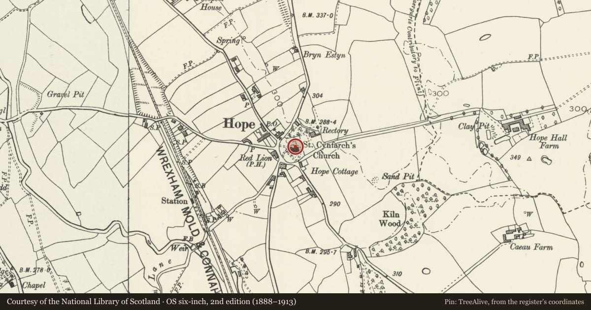
5 historical maps cover this location, the earliest the 1795 map "To Sir Watkin Williams-Wynn Bart ... the map of the six counties of North Wales is most humbly inscribed by his obedient humble servant" (Llyfrgell Genedlaethol Cymru – The National Library of Wales).
Historical maps covering this location
- 1795 · To Sir Watkin Williams-Wynn Bart ... the map of the six counties of North Wales is most… (Llyfrgell Genedlaethol Cymru – The National Library of Wales)
- 1883 · Watershed map England, Wales 3. (David Rumsey Map Collection, Stanford Libraries)
- 1898 · 108 Flint (Hills) (David Rumsey Map Collection, Stanford Libraries)
- 1898 · 108 Flint (Outline) (David Rumsey Map Collection, Stanford Libraries)
- 1901 · Sheet 9 and 10. (David Rumsey Map Collection, Stanford Libraries)
Cadw's description
Location
Located immediately N of St Cyngar's Church within the walled churchyard.
Exterior
Three associated late C18 or early C19 vault structures, all without identification; of sandstone ashlar construction, the two westernmost with simple contemporary wrought-iron railings, that to the E with its railings removed. Each of the structures is of approximately 3m square, that to the E and the central one rising to the centre in a shallow, capped pyramid. The two westernmost adjoin the N aisle of the church.
Reason for designation
Included, together with other early monuments, for group value with St Cyngar's Church.
Nearby in the register
- Church of St CyngarReligious, Ritual and Funeraryunder 1 mi
- Railed Vault Structure immediately N of the Tower at St Cyngar's ChurchReligious, Ritual and Funeraryunder 1 mi
- Railed and Raised Tomb immediately W of St Cyngar's ChurchReligious, Ritual and Funeraryunder 1 mi
- Sundial Base at St Cyngar's ChurchGardens, Parks and Urban Spacesunder 1 mi
Other entries of the same register within about three miles of this one, by straight line.