Cof Cymru: National Historic Assets of Wales · Wales
Churchyard Wall and Gate E of Church of St Engan
Llanengan, Gwynedd, Wales
A Grade II listed building in Llanengan, Pwllheli, Gwynedd, designated on 1 April 1998.
The record
- Designation
- Listed building, Grade II
- Broad class
- Religious, Ritual and Funerary
- Date of designation
- 1 April 1998
- Locality
- Llanengan
- Town
- Pwllheli
- Community
- Llanengan
- Unitary authority
- Gwynedd
- Country
- Wales
- Coordinates
- 52.81366, -4.53256
- Cadw reference
- 19609
Slide toward Today to fade the historical sheet and see the modern map underneath.
David Rumsey Map Collection, Stanford LibrariesDavid Rumsey Map Collection, Stanford LibrariesDavid Rumsey Map Collection, Stanford LibrariesDavid Rumsey Map Collection, Stanford LibrariesDavid Rumsey Map Collection, Stanford Libraries
5 historical maps cover this location, the earliest the 1608 map "(13) Cambriae Typus." (David Rumsey Map Collection, Stanford Libraries).
Historical maps covering this location
- 1608 · (13) Cambriae Typus. (David Rumsey Map Collection, Stanford Libraries)
- 1830 · V.3:11-15:XV. Britisches Reich. A. Kon: England. b. Frstenthum Wales: Shire: 37-40 (David Rumsey Map Collection, Stanford Libraries)
- 1883 · Watershed map England, Wales 3. (David Rumsey Map Collection, Stanford Libraries)
- 1899 · 134 Pwllheli (Hills) (David Rumsey Map Collection, Stanford Libraries)
- 1901 · Sheet 9 and 10. (David Rumsey Map Collection, Stanford Libraries)
Cadw's description
Location
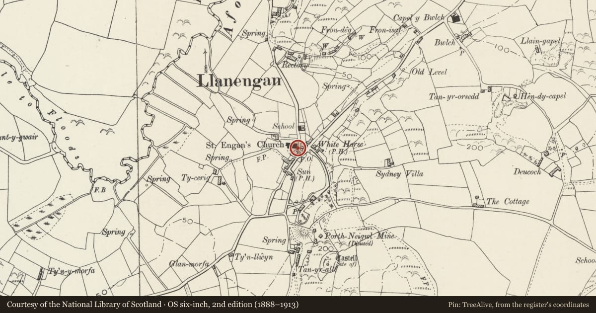
Situated along roadside immediately E of E wall of church.
History
Retaining wall to churchyard and entrance gateway, possibly earlier C19.
Exterior
Rubble stone wall along E side of churchyard with gabled stone gateway at left end. Narrow arched entry with has stone voussoirs, C20 iron gate. Cemented slates to gable sides. Wall has rough rubble coping, and is mostly a retaining wall, total length some 35m.
Reason for designation
Included for group value with Church of St Engan.
Nearby in the register
- Church of St EnganReligious, Ritual and Funeraryunder 1 mi
- Lychgate to S of Church of St EnganReligious, Ritual and Funeraryunder 1 mi
- Telephone Call-box (tel no: 01758 712919)Communicationsunder 1 mi
- GorphwysfaDomesticunder 1 mi
Other entries of the same register within about three miles of this one, by straight line.