Cof Cymru: National Historic Assets of Wales · Wales
Sundial in Chuchyard, Church of St Michael
Forden with Leighton and Trelystan, Powys, Wales
A Grade II listed building in Forden, Forden with Leighton and Trelystan, Powys, designated on 20 March 1998.
The record
- Designation
- Listed building, Grade II
- Broad class
- Religious, Ritual and Funerary
- Date of designation
- 20 March 1998
- Locality
- Forden
- Town
- Forden
- Community
- Forden with Leighton and Trelystan
- Unitary authority
- Powys
- Country
- Wales
- Coordinates
- 52.60214, -3.14251
- Cadw reference
- 19547
Slide toward Today to fade the historical sheet and see the modern map underneath.
David Rumsey Map Collection, Stanford LibrariesDavid Rumsey Map Collection, Stanford LibrariesDavid Rumsey Map Collection, Stanford LibrariesDavid Rumsey Map Collection, Stanford LibrariesLlyfrgell Genedlaethol Cymru – The National Library of Wales
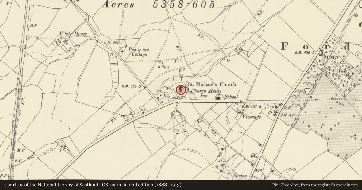
5 historical maps cover this location, the earliest the 1795 map "To Sir Watkin Williams-Wynn Bart ... the map of the six counties of North Wales is most humbly inscribed by his obedient humble servant" (Llyfrgell Genedlaethol Cymru – The National Library of Wales).
Historical maps covering this location
- 1795 · To Sir Watkin Williams-Wynn Bart ... the map of the six counties of North Wales is most… (Llyfrgell Genedlaethol Cymru – The National Library of Wales)
- 1883 · Watershed map England, Wales 3. (David Rumsey Map Collection, Stanford Libraries)
- 1899 · 151 Welshpool (Hills) (David Rumsey Map Collection, Stanford Libraries)
- 1901 · Sheet 9 and 10. (David Rumsey Map Collection, Stanford Libraries)
- 1916 · Sheet 60. Shrewsbury. (David Rumsey Map Collection, Stanford Libraries)
Cadw's description
Location
Located in the churchyard by the path to the tower door, approximately 16m S of the tower.
Exterior
Tall urn-shaped baluster of Grinshill sandstone, the bowl decorated with overlapping leaves, on a moulded base, standing on a circular plinth. The square top carried a bronze dial by Richard Harper of Salop, inscribed 'I steal upon you Richd Bryan Willm Bishop CHURCHWARDENS 17/77', and giving the latitude of 52 deg 34'. The gnomon was apparently set up on site.
Reason for designation
Listed as a fine example of an C18 sundial complete with plate.
Nearby in the register
- Church of St MichaelReligious, Ritual and Funeraryunder 1 mi
- Pound Fields CottageDomesticunder 1 mi
- Pen-y-llanDomesticunder 1 mi
- Offa's Dyke: Section from point 90m S of Chirbury Road to S Boundary of Nant-Cribau ParkLinear Earthworkunder 1 mi
Other entries of the same register within about three miles of this one, by straight line.