Cof Cymru: National Historic Assets of Wales · Wales
Font in garden at Cefnamwlch
Tudweiliog, Gwynedd, Wales
A Grade II listed building in Cefnamwlch, Pwllheli, Tudweiliog, Gwynedd, designated on 2 March 1998.
The record
- Designation
- Listed building, Grade II
- Broad class
- Domestic
- Date of designation
- 2 March 1998
- Locality
- Cefnamwlch
- Town
- Pwllheli
- Community
- Tudweiliog
- Unitary authority
- Gwynedd
- Country
- Wales
- Coordinates
- 52.88619, -4.62512
- Cadw reference
- 19436
Slide toward Today to fade the historical sheet and see the modern map underneath.
David Rumsey Map Collection, Stanford LibrariesDavid Rumsey Map Collection, Stanford LibrariesDavid Rumsey Map Collection, Stanford LibrariesDavid Rumsey Map Collection, Stanford LibrariesDavid Rumsey Map Collection, Stanford Libraries
5 historical maps cover this location, the earliest the 1608 map "(13) Cambriae Typus." (David Rumsey Map Collection, Stanford Libraries).
Historical maps covering this location
- 1608 · (13) Cambriae Typus. (David Rumsey Map Collection, Stanford Libraries)
- 1830 · V.3:11-15:XV. Britisches Reich. A. Kon: England. b. Frstenthum Wales: Shire: 37-40 (David Rumsey Map Collection, Stanford Libraries)
- 1883 · Watershed map England, Wales 3. (David Rumsey Map Collection, Stanford Libraries)
- 1899 · 134 Pwllheli (Hills) (David Rumsey Map Collection, Stanford Libraries)
- 1901 · Sheet 9 and 10. (David Rumsey Map Collection, Stanford Libraries)
Cadw's description
Location
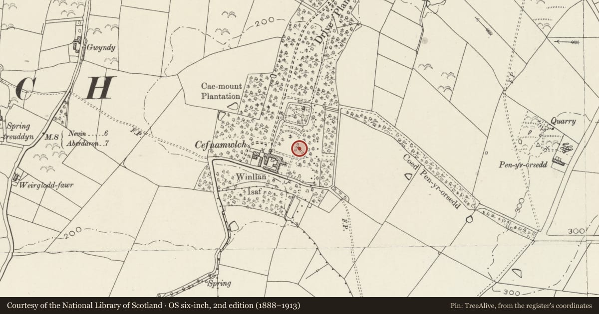
Situated in the lawned garden at Cefnamwlch, some 80m NE of the main house.
History
Medieval font, possibly C14, from Tudweiliog parish church, removed when the church was rebuilt in 1849, and reused as a garden ornament.
Exterior
Medieval font, gritstone, octagonal bowl, slightly chamfered below. Octagonal shaft with rounded angles and pyramid stops at lower angles. Square plinth.
Reason for designation
A medieval font.
Nearby in the register
- CefnamwlchDomesticunder 1 mi
- Mounting Block at CefnamwlchDomesticunder 1 mi
- Gatehouse at CefnamwlchDomesticunder 1 mi
- Coach House at CefnamwlchDomesticunder 1 mi
Other entries of the same register within about three miles of this one, by straight line.