Cof Cymru: National Historic Assets of Wales · Wales
Garden Wall at Bodidris
Llandegla, Denbighshire, Wales
A Grade II listed building in Bodidris, Ruthin, Llandegla, Denbighshire, designated on 5 February 1998.
The record
- Designation
- Listed building, Grade II
- Broad class
- Domestic
- Date of designation
- 5 February 1998
- Locality
- Bodidris
- Town
- Ruthin
- Community
- Llandegla
- Unitary authority
- Denbighshire
- Country
- Wales
- Coordinates
- 53.07492, -3.18935
- Cadw reference
- 19309
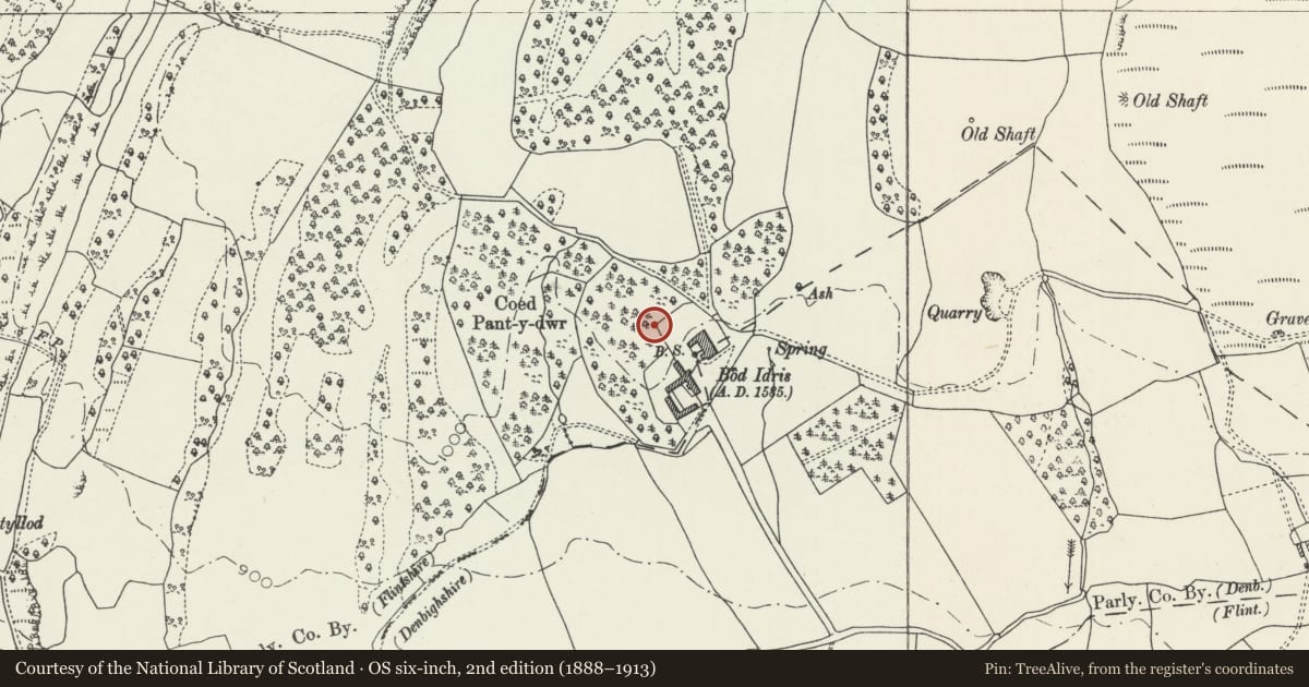
Slide toward Today to fade the historical sheet and see the modern map underneath.
David Rumsey Map Collection, Stanford LibrariesDavid Rumsey Map Collection, Stanford LibrariesDavid Rumsey Map Collection, Stanford LibrariesLlyfrgell Genedlaethol Cymru – The National Library of WalesDavid Rumsey Map Collection, Stanford Libraries
5 historical maps cover this location, the earliest the 1608 map "(13) Cambriae Typus." (David Rumsey Map Collection, Stanford Libraries).
Historical maps covering this location
- 1608 · (13) Cambriae Typus. (David Rumsey Map Collection, Stanford Libraries)
- 1795 · To Sir Watkin Williams-Wynn Bart ... the map of the six counties of North Wales is most… (Llyfrgell Genedlaethol Cymru – The National Library of Wales)
- 1883 · Watershed map England, Wales 3. (David Rumsey Map Collection, Stanford Libraries)
- 1898 · 121 Wrexham (Hills) (David Rumsey Map Collection, Stanford Libraries)
- 1901 · Sheet 9 and 10. (David Rumsey Map Collection, Stanford Libraries)
Cadw's description
Location
Approximately 2 km NE of Llandegla, forming a boundary wall to the garden to N of Bodidris.
Exterior
Rustic garden wall, some 2.8m high and approximately 200m long, possibly dating from the C18, forming enclosed boundary to N and E of main house at Bodidris. Rubble stone with irregular coping of alternately high and low rubble stones set on edge. Centre wall has three Picturesque-style semi-circular rustic arches with stone voussoirs (these may have formed part of an earlier landscape or pleasure garden). To the E of the house a section of the wall has been demolished, forming a gap approximately 13m wide.
Reason for designation
Unusual rustic wall of pleasing character, forming part of the related group of listed buildings at Bodidris.
Nearby in the register
- Shelter Shed to South-west of BodidrisDomesticunder 1 mi
- BodidrisDomesticunder 1 mi
- Old Stable Block and Bodidris Cottage to South-west of BodidrisDomesticunder 1 mi
- Gardener's Cottage, Laundry Cottage and Barn to South-west of BodidrisDomesticunder 1 mi
Other entries of the same register within about three miles of this one, by straight line.