Cof Cymru: National Historic Assets of Wales · Wales
Cadwgan Farmhouse
Crucorney, Monmouthshire, Wales
A Grade II listed building in Grwyne Fawr, Abergavenny, Crucorney, Monmouthshire, designated on 29 January 1998.
The record
- Designation
- Listed building, Grade II
- Broad class
- Domestic
- Date of designation
- 29 January 1998
- Locality
- Grwyne Fawr
- Town
- Abergavenny
- Community
- Crucorney
- Unitary authority
- Monmouthshire
- Country
- Wales
- Coordinates
- 51.92007, -3.06139
- Cadw reference
- 19261
Slide toward Today to fade the historical sheet and see the modern map underneath.
David Rumsey Map Collection, Stanford LibrariesDavid Rumsey Map Collection, Stanford LibrariesDavid Rumsey Map Collection, Stanford LibrariesDavid Rumsey Map Collection, Stanford LibrariesDavid Rumsey Map Collection, Stanford Libraries
5 historical maps cover this location, the earliest the 1636 map "Cornubia : Devonia, Somersetus, Dorcestria, Wiltonia, Glocestria ..." (David Rumsey Map Collection, Stanford Libraries).
Historical maps covering this location
- 1636 · Cornubia : Devonia, Somersetus, Dorcestria, Wiltonia, Glocestria ... (David Rumsey Map Collection, Stanford Libraries)
- 1856 · 42. Brecon. (David Rumsey Map Collection, Stanford Libraries)
- 1895 · Sheet 11. Ordnance Survey of England and Wales. (David Rumsey Map Collection, Stanford Libraries)
- 1896 · 214 Talgarth (Hills) (David Rumsey Map Collection, Stanford Libraries)
- 1901 · Sheet 14. (David Rumsey Map Collection, Stanford Libraries)
Cadw's description
Location
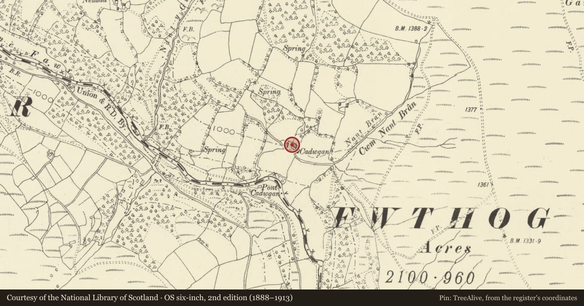
On the east side of the valley of the Grwyne Fawr about 250m north east of Pont Cadwgan and about 4.5km north of Forest Coal Pit.
History
A C17 two unit end entry house with a probably early C19 rear wing.
Exterior
Painted red sandstone rubble with stone tile roof to the main block and corrugated asbestos sheeting to the rear wing and lean-to extension. One and a half storeys to the main block and single storey rear wing. The main block has a gable entry through the addition. The south elevation has a 3 over 4 pane sash to the hall and a casement in the original opening with drip over to the inner room. Casement in small gable above the hall window; this will be a C19 alteration in the roof line. Massive gable stack to left, weathered for thatch. The inner room apparently remains unheated as there is no other chimney.
Immediately to the west is a spring enclosed by high stone walling with benches facing a shallow pool.
Interior
Interior not available for inspection at time of resurvey (May 1997).
Reason for designation
Included as a good example of a C17 two unit gable entry house.
Nearby in the register
- Cowhouse at Cadwgan FarmAgriculture and Subsistenceunder 1 mi
- Ffordd Las Fawr including attached byre and cattle ramp at downhill endDomesticunder 1 mi
- Former malthouse at Upper House Farm, including retaining wall to frontDomestic1 mi
- Cartshed at Upper House FarmAgriculture and Subsistence1 mi
Other entries of the same register within about three miles of this one, by straight line.