Cof Cymru: National Historic Assets of Wales · Wales
Limekiln at South Haven
Marloes and St. Brides, Pembrokeshire, Wales
A Grade II listed building in Skokholm Island, Haverfordwest, Marloes and St. Brides, Pembrokeshire, designated on 10 December 1997.
The record
- Designation
- Listed building, Grade II
- Broad class
- Industrial
- Date of designation
- 10 December 1997
- Locality
- Skokholm Island
- Town
- Haverfordwest
- Community
- Marloes and St. Brides
- Unitary authority
- Pembrokeshire
- Country
- Wales
- Coordinates
- 51.69956, -5.27038
- Cadw reference
- 19147
Slide toward Today to fade the historical sheet and see the modern map underneath.
David Rumsey Map Collection, Stanford LibrariesDavid Rumsey Map Collection, Stanford LibrariesDavid Rumsey Map Collection, Stanford LibrariesDavid Rumsey Map Collection, Stanford LibrariesDavid Rumsey Map Collection, Stanford Libraries
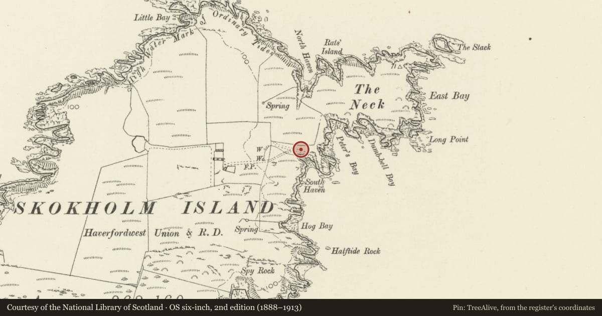
5 historical maps cover this location, the earliest the 1608 map "(13) Cambriae Typus." (David Rumsey Map Collection, Stanford Libraries).
Historical maps covering this location
- 1608 · (13) Cambriae Typus. (David Rumsey Map Collection, Stanford Libraries)
- 1636 · Cornubia : Devonia, Somersetus, Dorcestria, Wiltonia, Glocestria ... (David Rumsey Map Collection, Stanford Libraries)
- 1898 · 227 Milford (Hills) (David Rumsey Map Collection, Stanford Libraries)
- 1898 · 227 Milford (Outline) (David Rumsey Map Collection, Stanford Libraries)
- 1901 · Sheet 13. (David Rumsey Map Collection, Stanford Libraries)
Cadw's description
Location
Situated on hillside just above South Haven.
History
Earlier C19 square limekiln, possibly built for the Dale Castle estate, owners of the island.
Exterior
Limekiln, rubble stone, square plan with single front kiln-eye, roughly triangular-headed with stone slab lintel.
Reason for designation
An intact example of the single kiln-eye type of lime-kiln, similar to the one on Skomer Island, but generally rarer than those with two opposed kiln-eyes.
Nearby in the register
- The CottageDomesticunder 1 mi
- Skokholm Lighthouse with enclosure walls and stores buildingMaritimeunder 1 mi
- Hut Groups on Gateholm IslandSettlement2 mi
- Watery Bay RathPromontory Fort - coastal2 mi
Other entries of the same register within about three miles of this one, by straight line.