Cof Cymru: National Historic Assets of Wales · Wales
2 Elizabeth Terrace
Pentir, Gwynedd, Wales
A Grade II listed building in Glasinfryn, Bangor, Pentir, Gwynedd, designated on 22 September 1997.
The record
- Designation
- Listed building, Grade II
- Broad class
- Domestic
- Date of designation
- 22 September 1997
- Locality
- Glasinfryn
- Town
- Bangor
- Community
- Pentir
- Unitary authority
- Gwynedd
- Country
- Wales
- Coordinates
- 53.19756, -4.11785
- Cadw reference
- 18932
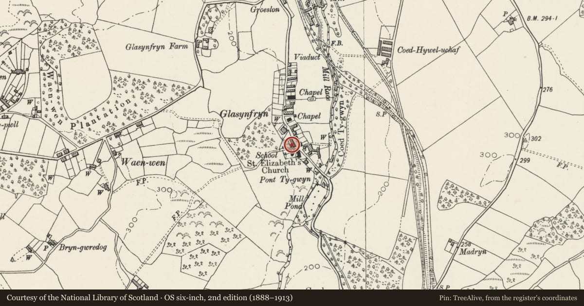
Slide toward Today to fade the historical sheet and see the modern map underneath.
David Rumsey Map Collection, Stanford LibrariesDavid Rumsey Map Collection, Stanford LibrariesDavid Rumsey Map Collection, Stanford LibrariesDavid Rumsey Map Collection, Stanford LibrariesDavid Rumsey Map Collection, Stanford Libraries
5 historical maps cover this location, the earliest the 1896 map "Sheet 7. Ordnance Survey of England and Wales." (David Rumsey Map Collection, Stanford Libraries).
Historical maps covering this location
- 1896 · Sheet 7. Ordnance Survey of England and Wales. (David Rumsey Map Collection, Stanford Libraries)
- 1899 · 106 Bangor (Hills) (David Rumsey Map Collection, Stanford Libraries)
- 1899 · 106 Bangor (Outline) (David Rumsey Map Collection, Stanford Libraries)
- 1901 · Sheet 9 and 10. (David Rumsey Map Collection, Stanford Libraries)
- 1919 · Sheet 41. Anglesey. (David Rumsey Map Collection, Stanford Libraries)
Cadw's description
Location
Located last but one of the row of four cottages at the S end of the High Street.
History
Built probably in the first decades of the C19 at the time of expansion in this village, or possibly a remodelling of an earlier range of village cottages.
Exterior
Belongs to a group of 4.
1-4 Elizabeth Terrace, Glasinfryn.
Rubble stonework, originally rendered, with a slate roof. The range is built on a curve following the High Street, and with a pebbled path between the front wall and the road. Each cottage is of 2 storeys, 2 bays, with central 6-panel part glazed door, and 2-light paned timber windows. The upper floor has raised dormers under small gables. Gable stone stacks with various pots. To the rear, a single storey service extension.The only one of the group which was originally a single bay cottage with a room on each floor. Original rendering removed recently. It is now amalgamated with No. 1.
Reason for designation
Included as a row of vernacular cottages retaining early character, which are part of a group in the Conservation Area at the centre of the nucleated village.
Nearby in the register
- 1 Elizabeth TerraceDomesticunder 1 mi
- 3 Elizabeth TerraceDomesticunder 1 mi
- 4 Elizabeth TerraceDomesticunder 1 mi
- 8 High StreetDomesticunder 1 mi
Other entries of the same register within about three miles of this one, by straight line.