Cof Cymru: National Historic Assets of Wales · Wales
Former Navigation Colliery South Winding Engine House
Crumlin, Caerphilly, Wales
A Grade II* listed building in Navigation Colliery Crumlin, Crumlin, Caerphilly, designated on 27 January 1982.
The record
- Designation
- Listed building, Grade II*
- Broad class
- Industrial
- Date of designation
- 27 January 1982
- Locality
- Navigation Colliery Crumlin
- Community
- Crumlin
- Unitary authority
- Caerphilly
- Country
- Wales
- Coordinates
- 51.68186, -3.14203
- Cadw reference
- 1891
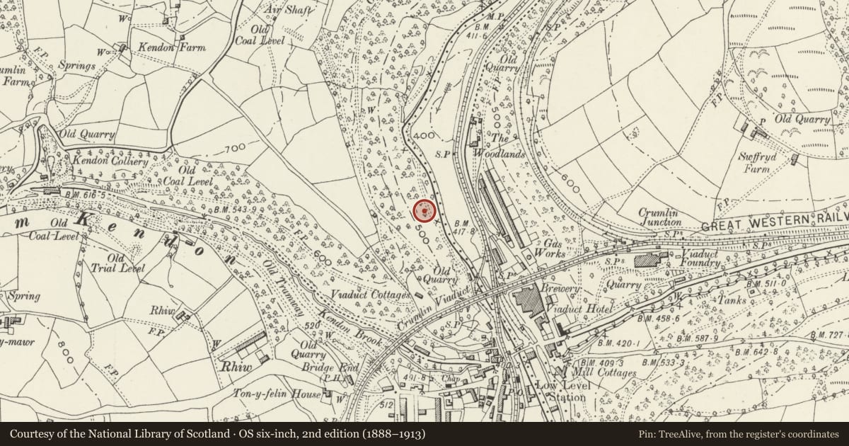
Slide toward Today to fade the historical sheet and see the modern map underneath.
David Rumsey Map Collection, Stanford LibrariesDavid Rumsey Map Collection, Stanford LibrariesDavid Rumsey Map Collection, Stanford LibrariesDavid Rumsey Map Collection, Stanford LibrariesDavid Rumsey Map Collection, Stanford Libraries
5 historical maps cover this location, the earliest the 1636 map "Cornubia : Devonia, Somersetus, Dorcestria, Wiltonia, Glocestria ..." (David Rumsey Map Collection, Stanford Libraries).
Historical maps covering this location
- 1636 · Cornubia : Devonia, Somersetus, Dorcestria, Wiltonia, Glocestria ... (David Rumsey Map Collection, Stanford Libraries)
- 1637 · The fourth table of England. Cornub. Devonia, Somerset etc. (David Rumsey Map Collection, Stanford Libraries)
- 1895 · Sheet 11. Ordnance Survey of England and Wales. (David Rumsey Map Collection, Stanford Libraries)
- 1906 · 249 Newport (Hills) (David Rumsey Map Collection, Stanford Libraries)
- 1913 · Sheet 102. Newport. (David Rumsey Map Collection, Stanford Libraries)
Cadw's description
Location
Standing on the main Revetment Wall at the S end. Paired with the North Winding Engine House at N end.
History
Navigation Colliery Crumlin was built by the firm of Partridge Jones and Company between 1907 and 1911. The firm was one of the largest coal combines in S Wales, owning 9 collieries in the Gwent valleys. Navigation Colliery was a show-pit of the period with high quality buildings and up-to-date machinery. One of the earliest collieries in S Wales to be built in brick rather than local stone with brick dressings. Closed 1967 and disused since.
Exterior
A small in plan but tall single storey rectangular Winding Engine House. Of high quality red and yellow engineering brick, the yellow brick slightly projecting and partly stepped to quoins, pilasters, plinth and cornice, forming a grid pattern; Welsh slate roof with long gabled ridge ventilator. 5 bays long and 3 wide; side elevation facing outwards has long narrow round-arched multipane metal-framed windows with narrow keystone and sill. Gable end has large round-arched central doorway flanked by similar windows now blocked, small segmental-arched opening above and roundel to gable.
Reason for designation
Listed II* as an important building in this nearly complete colliery complex of national importance. Group value with other listed former colliery buildings.
Nearby in the register
- Former Navigation Colliery OfficesIndustrialunder 1 mi
- Former Navigation Colliery Fan House and Fan DriftIndustrialunder 1 mi
- Rear Revetment Wall SIndustrialunder 1 mi
- Former Navigation Colliery Lamp RoomGardens, Parks and Urban Spacesunder 1 mi
Other entries of the same register within about three miles of this one, by straight line.