Cof Cymru: National Historic Assets of Wales · Wales
Gazebo at Cyffdy Hall
Bro Garmon, Conwy, Wales
A Grade II listed building in Melin-y-Coed, Bro Garmon, Conwy, designated on 11 August 1997.
The record
- Designation
- Listed building, Grade II
- Broad class
- Gardens, Parks and Urban Spaces
- Date of designation
- 11 August 1997
- Locality
- Melin-y-Coed
- Community
- Bro Garmon
- Unitary authority
- Conwy
- Country
- Wales
- Coordinates
- 53.12490, -3.76976
- Cadw reference
- 18784
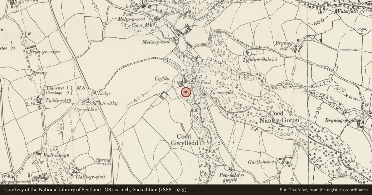
Slide toward Today to fade the historical sheet and see the modern map underneath.
David Rumsey Map Collection, Stanford LibrariesLlyfrgell Genedlaethol Cymru – The National Library of WalesDavid Rumsey Map Collection, Stanford LibrariesDavid Rumsey Map Collection, Stanford LibrariesDavid Rumsey Map Collection, Stanford Libraries
5 historical maps cover this location, the earliest the 1608 map "(13) Cambriae Typus." (David Rumsey Map Collection, Stanford Libraries).
Historical maps covering this location
- 1608 · (13) Cambriae Typus. (David Rumsey Map Collection, Stanford Libraries)
- 1795 · To Sir Watkin Williams-Wynn Bart ... the map of the six counties of North Wales is most… (Llyfrgell Genedlaethol Cymru – The National Library of Wales)
- 1830 · V.3:11-15:XV. Britisches Reich. A. Kon: England. b. Frstenthum Wales: Shire: 37-40 (David Rumsey Map Collection, Stanford Libraries)
- 1883 · Watershed map England, Wales 3. (David Rumsey Map Collection, Stanford Libraries)
- 1901 · Sheet 9 and 10. (David Rumsey Map Collection, Stanford Libraries)
Cadw's description
Location
Located some 50m S of the house in the former walled garden.
History
Garden gazebo, probably of early C18 origin.
Exterior
Square plan and of rubble construction, with pyramidal slate roof, partly ruinous at time of inspection (2/97). Entrance to N with open windows to sides; exposed timber lintels.
Interior
Plain plastered interior.
Reason for designation
Included for group value with Cyffdy Hall as a relatively scarce example of this building type.
Nearby in the register
- Cyffdy Hall (including attached Coach House)Domesticunder 1 mi
- Stable Block at Cyffdy Hall.Agriculture and Subsistenceunder 1 mi
- Coach House at Cyffdy HallAgriculture and Subsistenceunder 1 mi
- Barn to W of Cyffdy HallAgriculture and Subsistenceunder 1 mi
Other entries of the same register within about three miles of this one, by straight line.