Cof Cymru: National Historic Assets of Wales · Wales
Altar tomb in the churchyard of St Michael and All Angels
New Inn, Torfaen, Wales
A Grade II listed building in Llanvihangel Pontymoel, Pontypool, New Inn, Torfaen, designated on 7 August 1997.
The record
- Designation
- Listed building, Grade II
- Broad class
- Religious, Ritual and Funerary
- Date of designation
- 7 August 1997
- Locality
- Llanvihangel Pontymoel
- Town
- Pontypool
- Community
- New Inn
- Unitary authority
- Torfaen
- Country
- Wales
- Coordinates
- 51.70421, -3.01281
- Cadw reference
- 18729
Slide toward Today to fade the historical sheet and see the modern map underneath.
David Rumsey Map Collection, Stanford LibrariesDavid Rumsey Map Collection, Stanford LibrariesDavid Rumsey Map Collection, Stanford LibrariesDavid Rumsey Map Collection, Stanford LibrariesDavid Rumsey Map Collection, Stanford Libraries
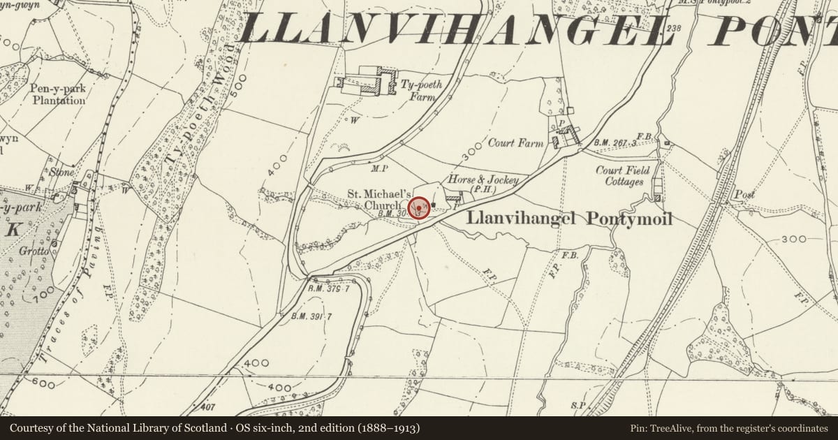
5 historical maps cover this location, the earliest the 1636 map "Cornubia : Devonia, Somersetus, Dorcestria, Wiltonia, Glocestria ..." (David Rumsey Map Collection, Stanford Libraries).
Historical maps covering this location
- 1636 · Cornubia : Devonia, Somersetus, Dorcestria, Wiltonia, Glocestria ... (David Rumsey Map Collection, Stanford Libraries)
- 1637 · The fourth table of England. Cornub. Devonia, Somerset etc. (David Rumsey Map Collection, Stanford Libraries)
- 1830 · V.3:11-15:XV.Britisches Reich. A. Kon: England. a. England ab sich: Shire:15-17, 33 (David Rumsey Map Collection, Stanford Libraries)
- 1895 · Sheet 11. Ordnance Survey of England and Wales. (David Rumsey Map Collection, Stanford Libraries)
- 1913 · Sheet 102. Newport. (David Rumsey Map Collection, Stanford Libraries)
Cadw's description
Location
In the churchyard, about 20m west of the west door.
History
The death is recorded as 1856 and the style of the tomb suggests that it was erected at or soon after that date.
Exterior
Memorial in the form of a Roman altar. Neo-classical style. Square base on square plinth. Shaft has corner pilasters with moulded bases and cornice. Cap has acroteria for corners and pediments between. The faces of the shaft carry damaged inscriptions with the earliest to someone who died in 1856.
Reason for designation
Included for group value with the Church of St Michael and as a good example of a mid C19 Neo-classical tomb.
Nearby in the register
- Church of St Michael and All AngelsReligious, Ritual and Funeraryunder 1 mi
- The Horse and Jockey P HDomesticunder 1 mi
- Bridge 56, Monmouthshire and Brecon CanalTransportunder 1 mi
- Barn at Ty-poeth FarmAgriculture and Subsistenceunder 1 mi
Other entries of the same register within about three miles of this one, by straight line.