Cof Cymru: National Historic Assets of Wales · Wales
Edwards monument in the graveyard of Paran Chapel
Ogmore Valley, Bridgend, Wales
A Grade II listed building in Blackmill, Ogmore Valley, Bridgend, designated on 28 July 1997.
The record
- Designation
- Listed building, Grade II
- Broad class
- Religious, Ritual and Funerary
- Date of designation
- 28 July 1997
- Locality
- Blackmill
- Town
- Ogmore Valley
- Community
- Ogmore Valley
- Unitary authority
- Bridgend
- Country
- Wales
- Coordinates
- 51.56989, -3.53926
- Cadw reference
- 18609
Slide toward Today to fade the historical sheet and see the modern map underneath.
David Rumsey Map Collection, Stanford LibrariesDavid Rumsey Map Collection, Stanford LibrariesDavid Rumsey Map Collection, Stanford LibrariesDavid Rumsey Map Collection, Stanford LibrariesDavid Rumsey Map Collection, Stanford Libraries
5 historical maps cover this location, the earliest the 1636 map "Cornubia : Devonia, Somersetus, Dorcestria, Wiltonia, Glocestria ..." (David Rumsey Map Collection, Stanford Libraries).
Historical maps covering this location
- 1636 · Cornubia : Devonia, Somersetus, Dorcestria, Wiltonia, Glocestria ... (David Rumsey Map Collection, Stanford Libraries)
- 1637 · The fourth table of England. Cornub. Devonia, Somerset etc. (David Rumsey Map Collection, Stanford Libraries)
- 1865 · England and Wales. England No. 6. (David Rumsey Map Collection, Stanford Libraries)
- 1895 · Sheet 11. Ordnance Survey of England and Wales. (David Rumsey Map Collection, Stanford Libraries)
- 1907 · 248 Pontypridd (Hills) (David Rumsey Map Collection, Stanford Libraries)
Cadw's description
Location
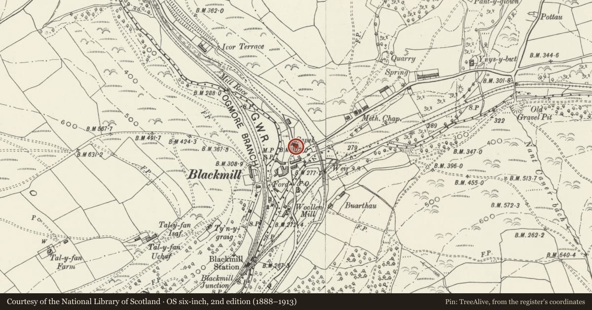
The tomb is located approximately 4m SE of the Edwards chest tomb, and near the W side of the graveyard on the S side of Paran Chapel.
History
Erected c.1909.
Exterior
Built of pink and grey coloured granite. The obelisk stands at the foot of a grave enclosure which is enclosed by boldly modelled cast iron railings. It consists of a tapered die set on a stepped base. Moulded cap with sarcophagus shape and acroteria, and a short chanelled pyramid carrying a small square granite urn, etched on each face. Gilded lettering to Sarah, wife of Colwyn Edwards of Black Mill, d.1909, with Colwyn Edwards added at death, 1935.
Reason for designation
Included as the finest example of this type of granite monument which is well represented in the local graveyards, one of a good group of graveyard monuments associated with the listed Grade II Paran chapel.
Nearby in the register
- Evans chest tomb in graveyard of Paran ChapelReligious, Ritual and Funeraryunder 1 mi
- Jenkins monument in the graveyard, Paran ChapelReligious, Ritual and Funeraryunder 1 mi
- Paran Capel y BedyddwrReligious, Ritual and Funeraryunder 1 mi
- Blackmill War MemorialCommemorativeunder 1 mi
Other entries of the same register within about three miles of this one, by straight line.