Cof Cymru: National Historic Assets of Wales · Wales
West barn at Llwynmadoc
Llandyssil, Powys, Wales
A Grade II listed building in Llwynmadoc, Llandyssil, Powys, designated on 26 October 1953.
The record
- Designation
- Listed building, Grade II
- Broad class
- Agriculture and Subsistence
- Date of designation
- 26 October 1953
- Locality
- Llwynmadoc
- Community
- Llandyssil
- Unitary authority
- Powys
- Country
- Wales
- Coordinates
- 52.54300, -3.21560
- Cadw reference
- 18522
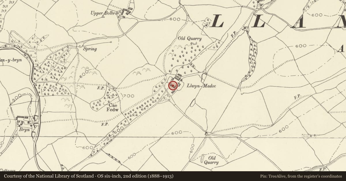
Slide toward Today to fade the historical sheet and see the modern map underneath.
David Rumsey Map Collection, Stanford LibrariesDavid Rumsey Map Collection, Stanford LibrariesDavid Rumsey Map Collection, Stanford LibrariesLlyfrgell Genedlaethol Cymru – The National Library of WalesDavid Rumsey Map Collection, Stanford Libraries
5 historical maps cover this location, the earliest the 1637 map "Particular description of Wales. Cambria seu Wallia" (David Rumsey Map Collection, Stanford Libraries).
Historical maps covering this location
- 1637 · Particular description of Wales. Cambria seu Wallia (David Rumsey Map Collection, Stanford Libraries)
- 1795 · To Sir Watkin Williams-Wynn Bart ... the map of the six counties of North Wales is most… (Llyfrgell Genedlaethol Cymru – The National Library of Wales)
- 1883 · Watershed map England, Wales 3. (David Rumsey Map Collection, Stanford Libraries)
- 1899 · 165 Montgomery (Hills) (David Rumsey Map Collection, Stanford Libraries)
- 1901 · Sheet 14. (David Rumsey Map Collection, Stanford Libraries)
Cadw's description
Location
The farm is located in a relatively open, low-lying position, accessed from a long track SE of Abermule. The barn is located on the W side of the farmyard to the rear of the house.
History
Late C18 - early C19, with mid C19 alterations.
Exterior
Barn orientated N-S, of random rubble masonry under a corrugated iron roof. The S gable end contains three distinctive tall blind lancets of red brick with horizontal banding and breathers. There is an owl hole above. The E elevation contains 8 hatch openings into a hay loft. One contains a planked door, one is blocked with masonry and the remainder with timber boarding. There is a C20 opening at ground level with a concrete lintel and red brick dressings, and 3 further openings towards the N. The N gable end is timber clad with an opening to each level, and the W side has 8 loft openings as on the E side.
Interior
No access to interior at time of inspection.
Reason for designation
Listed as a good example of a barn, with unusual triple lancets with breathers at one end, possibly of the mid C19. Group value with Llwynmadoc Farmhouse and the E barn.
Nearby in the register
- Llwynmadoc FarmhouseDomesticunder 1 mi
- East Barn at LlwynmadocAgriculture and Subsistenceunder 1 mi
- Rock CottageDomesticunder 1 mi
- Cwm-mule MillIndustrialunder 1 mi
Other entries of the same register within about three miles of this one, by straight line.